Operating Modes
Version 6.03, May 2017
Page 127 of 192
Prev:
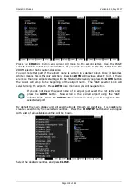
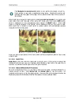
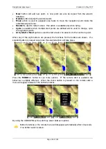
orients the zone in direction of the incoming leg and is usually used for the finish.
Start:
orients the sector always towards the start.
If the
Line
box is checked the sector will become a line type of observation zone. The
Radius1
parameter defines half the width of the line length. Use the PAGE selector knob to
increase the radius by 0.1 of the selected distance units and the ZOOM selector knob to
increase the radius by 5 units.
If
Line
is not checked the
Angle1
parameter will define the basic shape of the observation
zone. A value of 180° means that the zone is a cylinder and 45° is the classic FAI sector.
Rotate the PAGE selector knob to increase the angle by 0.5° or use the ZOOM selector knob
to choose values 22.5°, 45°, 90° or 180°.
Angle2
and
Radius2
are used for more complex observation zone setups.
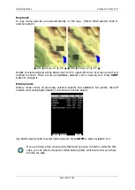
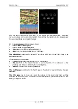
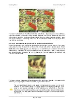
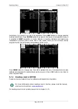
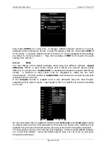
When changing observation zone parameters the screen is automatically updated to display
the new zone.
Check the
AAT
checkbox, if you want to make the selected zone an assigned area. The
AAT
checkbox will be automatically checked when
Radius1
is greater than 10 km.
By default navigation to task points will be automatically advanced; uncheck
Auto next
if
you do not want to change over to next point when reaching selected point. This option will
be automatically unchecked when
Radius1
is greater than 10 km.
Press the
NEXT>>
button when you are happy with the changes and to continue with the
next observation zone setup.
If the zone is for an assigned area turn point it will be marked with symbol ‘#’ in
front of the point name.
5.7.2.3
Task Options
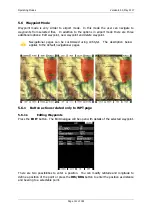
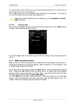
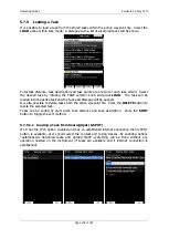
Press the
OPTIONS
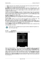
button. The options dialogue will be opened.
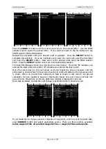
Enter the task description. This is very useful during competitions where you are given
more than one task per day. Some hints for names are
DAY1-B
,
Triangle1000km
etc.
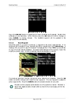
Check
Finish is 1000m below start
when you are making a badge or record flight. If this
option is checked the system, will not navigate you to the finish point elevation, but to the
altitude which is going to be 1000m below the start altitude. Check
Navigate to nearest
point
and the system will navigate you to the nearest point on the start zone or start line
and finish zone.
Start out the top
will enable detection of start, when leaving start sector
from the top of it.

