13-Survey & Map Mode
Noggin
76
13.1.2 Grid
Survey lines collected with the Noggin are saved as digital data (.DT1) files that can be viewed
on the DVL or exported to an external computer for processing and plotting.
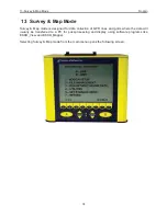
Pressing the B button from the Survey & Map menu takes the user to Grid data collection.
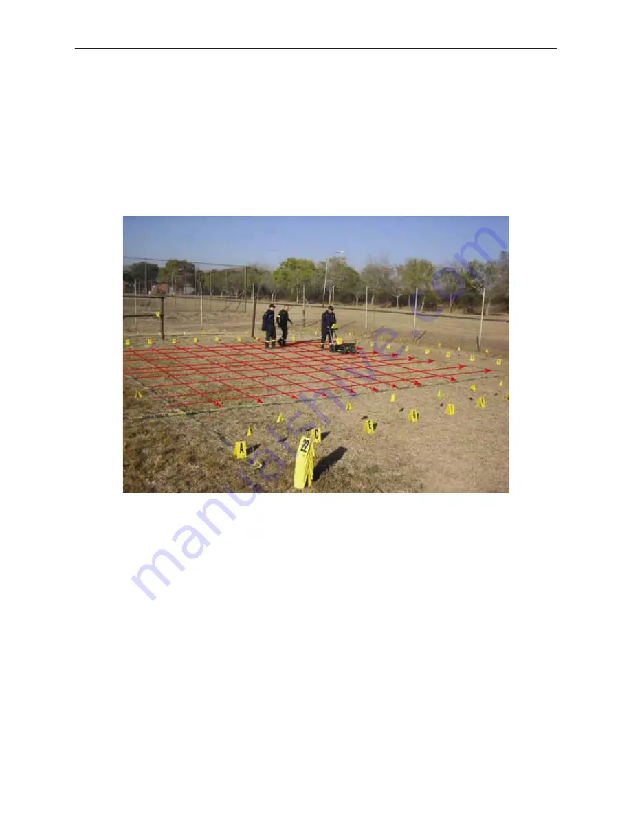
Grid collection involves collecting data in an organized pattern over an area. This type of data
acquisition allows the GPR data to be presented as plan maps with the EKKO_Mapper software
or 3D volumes with the EKKO_Mapper 3D software.
For inexperienced surveyors, laying out a grid with straight lines and all the corners at 90
degree angles can be difficult. Sensors & Software provides a product called EasyGrid to
make laying out an accurate grid simple. Contact Sensors & Software for more details.
The Grid menu allows the user to select a grid number (0-9) and line number to save each data
file to (0-99).
Before the data acquisition on a grid begins, the user must define the size of the area to be
surveyed, the direction of the survey lines and line spacing. The details of the grid survey are
specified in the Grid Setup menu option (
13.3.4: p.107
).
Details for Data Acquistion are described in
13.2: p.78
.
13.1.3 Setup
There are many background setup parameters related to the Noggin Smart Systems operation
for line and grid surveys that can be edited. This menu allows the user to display and change
various settings for the Smart System (
13.3: p.94
). The user can also reset all the parameters to
the factory default settings.
Summary of Contents for Noggin 100
Page 1: ...User s Guide Copyright 2012 Sensors Software Inc 2011 00022 02 Noggin ...
Page 2: ......
Page 4: ......
Page 8: ......
Page 17: ...Noggin 2 Noggin Components 3 Figure 2 3 Noggin 100 components ...
Page 156: ...Appendix D Instrument Interference Noggin D 2 ...
Page 158: ...Appendix E Safety Around Explosive Devices Noggin E 2 ...
Page 162: ...Noggin G 4 ...


