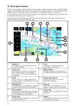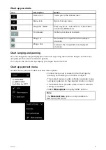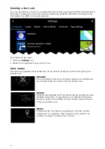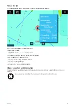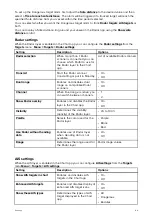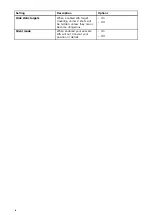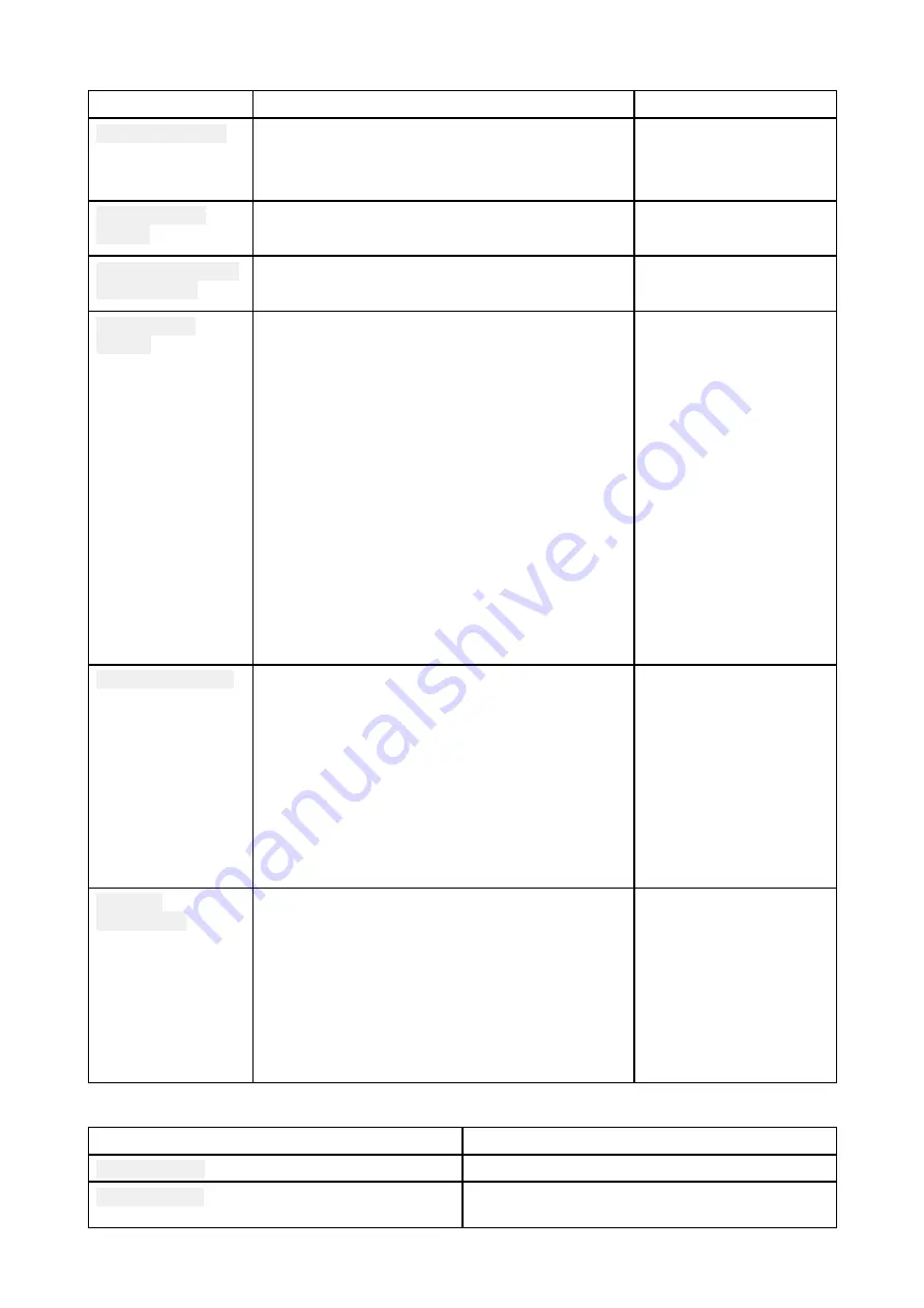
Advanced tab
Settings
Description
Options
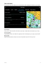
Chart orientation
• North-up
• Head-up
• Course-up
Enhanced AIS
targets
When the AIS layer is enabled, switches between
using standard and enhanced AIS targets.
• On
• Off
Use Radar without
heading data
Enables use of Radar overlay without Heading
data.
• On
• Off
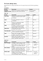
Cartographic
objects
The settings that are displayed are dependent on
the cartography in use.
• Navigation marks
• Navigation mark
symbols
• Rocks
• Light sectors
• Routing systems
• Caution areas
• Marine features
• Land features
• Business services
• Roads
• Additional wrecks
• Colored seabed areas
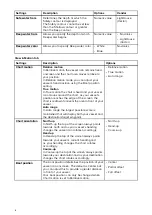
Chart appearance
The settings that are displayed are dependent on
the cartography in use.
• 2D shading
• Aerial overlay
• Aerial overlay opacity
• Grid
• Chart text
• Chart boundaries
• Deep water color
• Community edits
My data
appearance
You can change how your User data appears in
the Chart app.
• Waypoints names
• Route names
• Track names
• Route width
• Track width
• Vector width
• Vector length
Page settings tab
Settings
Description
Data Overlays
Enables configuration of Data overlays
Edit split ratio
Enables you to customize the position of the
partitions in splitscreen app pages.
73


