46
Cha
p
te
r
4
M
o
dif
yin
g M
ap
Co
n
figu
ra
tio
n
s
NA
V
I
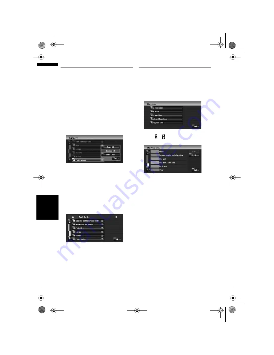
Displaying POI on the Map
Displays icons for the surrounding facilities (POI)
on the map.
1
Touch [Map] in the navigation menu, then
touch [Overlay POI].
2
Touch [Display] to turn it [On].
❒
If you do not want to display the POI icon
on the map, touch [
Display
] to turn it
[
Off
]. (Even if [
Display
] is turned [
Off
],
the POI selection setting is retained.)
3
Touch the category you want to display.
4
Touch [Select Detail].
[Select All]:
Selects all detailed categories that are
included in that category. (E.g. all categories
of restaurants including Japanese and fast
food.)
[Deselect All]:
Deselects the selected category.
5
Touch the desired detailed category.
❒
You can select up to 100 items from the
detailed category.
Categories that are already set will have a red
tick mark.
6
Touch [OK].
Returns previous screen.
7
To finish the selection, touch [OK].
➲
“Viewing the information of a specified
location”
➞
Page 41
Viewing the Map Colour Legend
You can browse the type of the roads and areas
displayed on the map.
1
Touch [Map] in the navigation menu, then
touch [Map Legend].
2
Touch the type which you want to see.
3
Touch or to switch to the next page or
previous page.
On this screen, you can operate the following
items.
[Day]:
You can check the colour of the Day screen.
[Night]:
You can check the colour of the Night screen.
❒
To return the previous screen, touch
[
Back
].
MAN-HD3-SOFTW-EN.book Page 46 Wednesday, January 10, 2007 9:33 AM


