9.17 Sonar logging
When using compatible
Navionics
®
cartography
you can share sonar information using
Navionics
®
SonarCharts
™
.
The
Sonar Logging
function allows logging of depth
and position data to a compatible
Navionics
®
chart
card. The saved data can then be uploaded to the
Navionics
®
website to help improve the contour
detail of Sonar Charts on your
MFD
. Refer to the
Navionics
®
website for instructions on how to
upload your sonar logs.
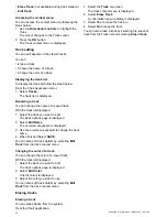
Enabling and disabling Sonar logs
Sonar logging can be enabled or disabled at any
time.
From the Chart application menu:
1. Select
Chart Setting
.
2. Select
Sonar Logs:
so that On is selected to
enable sonar logging, or
3. Select
Sonar Logs:
so that Off is selected to
disable sonar logging.
9.18 COG Vector
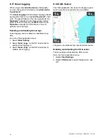
The chart application can be set to display a green
line to represent Course Over Ground (COG).
The green line indicates the vessel’s actual course.
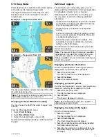
Enabling and disabling the COG vector
You can enable and disable the COG vector.
From the Chart application menu:
1. Select
Chart Settings
.
2. Select
COG Vector
to switch between On and
Off.
90
Dragonfly–4 / Dragonfly–5 / Dragonfly–7 / Wi–Fish


