25
Locations
Normally, text disappears as you zoom out. This declutters the screen,
making it easier to see significant map detail. Turning “LOCATION DOTS”
on from the Map Details menu places a dot on the screen where a text
label should be when the screen is zoomed out.
Contour Lines
Some nav aid data shows depth contour lines in navigable waters. To turn
these lines off, select “Contour Lines” from the “Map Detail” menu. Press
the left arrow key to turn them off. Press the EXIT key to erase the menu.
PLOT TRAIL
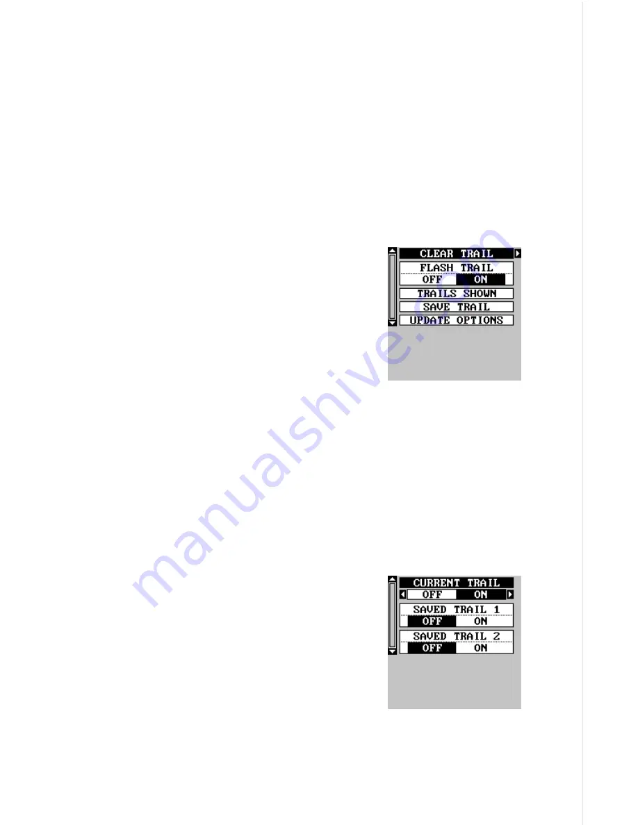
The line extending from the present position sym-
bol is called a plot trail. You can customize the
plot trail and save trails using the trail options
menu. To use it, press the MENU key, select “MAP
SETUP”, then “TRAIL OPTIONS”. The screen at
right appears.
Clear Trail
To erase the current plot trail from the screen,
select Clear Trail from the Trail Options menu. A message appears, ask-
ing if you really want to erase the plot trail. Follow the instructions on the
screen. When the trail is erased, the unit returns to the map screen.
Flash Trail
By default, the plot trail flashes once per second. This typically makes it
easier to see the plot trail against the background map. To turn the flash-
ing off, select “FLASH TRAIL” from the trail options menu. Press the left
arrow key to turn it off.
Trails Shown
The current plot trail shows on the map by de-
fault. To place a previously saved trail onto the
plotter, choose “TRAILS SHOWN” from the Trail
Options menu. The screen shown at right ap-
pears. Highlight the desired trail on this screen,
then press the right arrow key to select it. Press
the EXIT key to erase this menu. The selected
plot trail shows on the plotter.
Save a Trail
This unit automatically saves the current plot trail in memory when you
turn it off. You can save two other trails in memory. To save your current
Summary of Contents for GlobalMap 1600
Page 1: ...INSTALLATION AND OPERATION INSTRUCTIONS LMS 160 and GlobalMap 1600 TM...
Page 6: ...Notes...
Page 90: ...84 Notes...


