Garmin G900X Pilot’s Guide
190-00726-00 Rev. J
352
HAZARD AVOIDANCE
SY
STEM
O
VER
VIEW
FLIGHT
INSTRUMENTS
EIS
AUDIO P
ANEL
& CNS
FLIGHT
MANA
GEMENT
HAZARD
AV
OID
ANCE
AFCS
ADDITIONAL FEA
TURES
APPENDICES
INDEX
4)
Use the
FMS
Knob or the
ENT
Key to scroll through the METAR and TAF text. METAR text must be completely
scrolled through before scrolling through the TAF text.
5)
Press the
FMS
Knob or the
CLR
Key to return to the Weather Data Link (XM) Page.
Or
:
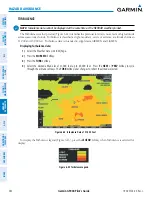
1)
Select the Weather Information Page.
a)
Turn the large
FMS
Knob to select the Waypoint Page Group.
b)
Press the
WX
Softkey to select the Weather Information Page.
2)
Press the
FMS
Knob to display the cursor.
3)
Use the
FMS
Knob to enter the desired airport and press the
ENT
Key.
4)
Use the
FMS
Knob or the
ENT
Key to scroll through the METAR and TAF text. Note the METAR text must be
completely scrolled through before scrolling through the TAF text.
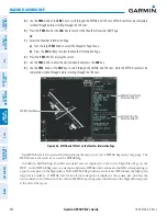
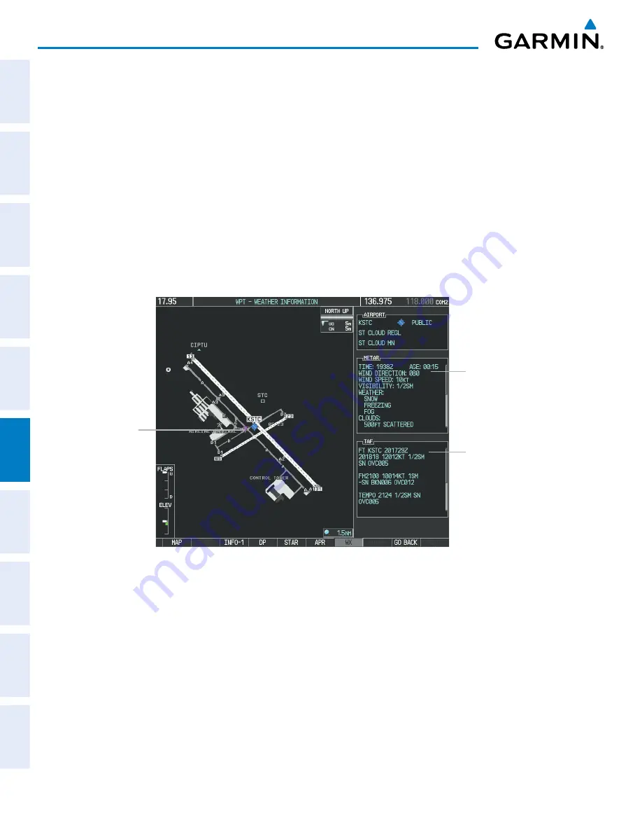
Figure 6-26 METAR and TAF Text on the Weather Information Page
METAR Text for the
Selected Airport
TAF Text for the
Selected Airport
METAR Symbol
Raw METAR text is also accessible while panning the map cursor over a METAR flag on any map page. The
METAR text is shown in a box near the METAR flag.
In addition, METAR flags and their associated text are displayed on the Active Flight Plan Page on the
MFD. A solid METAR flag next to a waypoint indicates METAR observations are available corresponding to
a specific waypoint in the flight plan; a hollow METAR flag indicates an off-route METAR near the flight plan
waypoint is available. If METAR text for an off-route waypoint is displayed, the system also provides the
source, distance, and direction of the off-route METAR reporting station in relation to the flight plan waypoint
at the end of the report.


