Friday, November 07, 2008
70
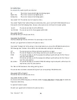
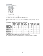
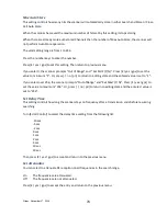
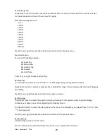
Set Range
This option sets the range for a POI.
In this menu, the setting unit depends on the setting in
Set Unit
.
When you select
͞
mile
͟
in
Set Unit
the displayed unit will be miles.
When you select
͞
km
͟
in
Set Unit
the displayed unit will be kms.
The valid setting range is from 0.05 to 4.0, by 0.05 steps.
Press [E / yes / gps] to accept the setting and return to the previous menu.
Note: This setting menu appears only in
͞
POI
͟
.
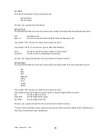
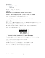
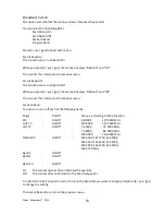
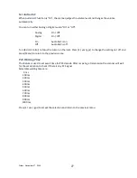
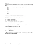
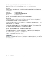
Set Heading
This option sets the heading direction-based alerts.
The options are:
All Range
The scanner always sounds an alert and turns on the Alert Light when you go into
range of the location.
North ( 0º)
South (180º)
NE
( 45º)
SW
(225º)
East
( 90º)
West
(270º)
SE
(135º)
NW
(315º)
Press [E / yes / gps] to accept the and return to the previous menu.
Note: This setting menu appears in
͞
Dangerous Xing
͟
and
͞
Dangerous Road
͟
.
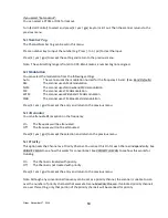
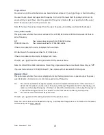
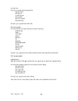
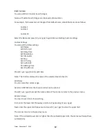
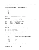
Set Speed Limit
This option sets the speed limit for location alerts. The scanner only alerts when your speed is over this
setting.
In this menu, the setting unit depends on the setting in
Set Unit
.
When you select
͞
mile
͟
in
Set Unit
the displayed unit will be
͞
mph
͟
.
When you select
͞
km
͟
in
Set Unit
the displayed unit will be
͞
km/h
͟
.
The valid setting range is from 0 to 200, in steps of 1.
Press [E / yes / gps] to accept the entry and return to the previous menu.
Note: This setting menu appears in
͞
Dangerous Xing
͟
and
͞
Dangerous Road
͟
.


