ALAN MAP 600
Advanced cartographic navigator
®
by
User´s Manual
Страница 1: ...ALAN MAP 600 Advanced cartographic navigator by User s Manual...
Страница 2: ...anguage 13 7 1 7 DMS Format 13 7 1 8 WAAS EGNOS 13 7 1 9 Buzzer acoustic Signal 13 7 1 10 Changing Coordinate format 13 7 1 11 Changing map references Datum 13 7 1 12 Set AR 13 7 1 13 Time 14 7 2 Main...
Страница 3: ...Settings 32 11 Track memorizing 32 11 1 Activating the Tracking 32 11 2 Tracking Options 33 12 Troubleshooting 34 13 The Global Positioning System GPS network 36 13 1 How the System works 36 13 2 Sat...
Страница 4: ...y Using this receiver while driving is dangerous and may cause accidents or collisions While driving pay attention to your driving When the sockets are not in use protect them with the rubber cover Ob...
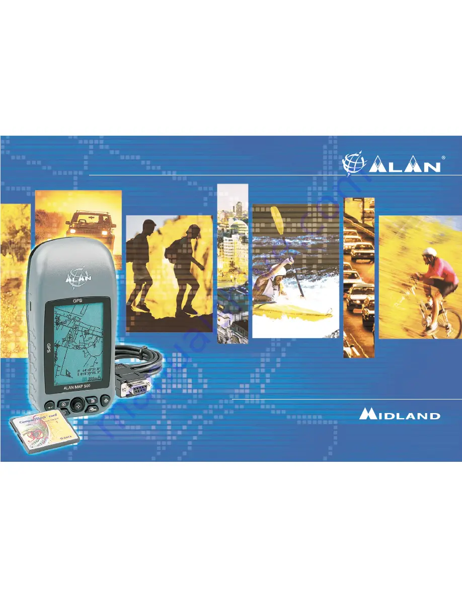
Страница 5: ...el shopping possibilities airports stations and much more The Map600 is water resistant and offers the possibility to expand the memory over Compact Flash Cards CF Cards as well as saving of several f...
Страница 6: ...of the receiver and for programming of various functions 4 Button On Off backlighting Serves two functions holding down the button for at least 2 seconds the receiver turns on off when the receiver is...
Страница 7: ...opening the battery compartment 13 Battery compartment for insertion of 2 AA batteries either alkaline or rechargeable Ni MH 14 External antenna socket for the connection of an active external antenn...
Страница 8: ...e Detail maps on the CF Card we recommend to use a CF Card Reader and Writer 4 2 Optional accessories 1 Compact Flash Memory card CF Card For memorizing digital maps you can use CF cards of various ca...
Страница 9: ...ash memory cards CF maps with a capacity up to 512 MT for reading in detailed map data We recommend to use only 256 MB map files because more data has a bad influence of the functions e g the Auto Rou...
Страница 10: ...position like all other GPS receivers automatically Your MAP 600 must execute this process initialisation always if the device has been transported after the last use turned off to a remote place mor...
Страница 11: ...an choose between 30 seconds 3 or 10 Minutes or always If the backlighting turns off you can activate it again by pressing each button Backlighting speeds up battery consumption use this feature only...
Страница 12: ...alizing your GPS backlighting mode map orientation units of measurement etc and for quick access to frequently used functions geographical reference settings routes etc Pressing twice quickly provides...
Страница 13: ...be taken from the NMEA data output Data socket using an optional interface cable The data can be elaborated using a laptop computer or other NMEA 0183 compatible data interface device e g transceiver...
Страница 14: ...ill choose further internationally used systems e g the German Gauss Krueger system the Austrian Swiss the British and the UTM system who are automatically linked with the associated map data The basi...
Страница 15: ...phical references waypoints Routes creation and use of routes composed of various waypoints Track log for automatic tracking of the route followed independently of the route programmed in Routes Satel...
Страница 16: ...e horizon 2 DOP Dilution Of Position indicates errors introduced to the system 3 Vertical bars represent the signals of the satellites received Below each one appears the identification number of the...
Страница 17: ...this map you can create geographical references waypoints or routes as desired The Map page includes the following details 1 Direction and current position The symbol shows the current position and t...
Страница 18: ...ion depending on the settings representing the size and position of the viewed area with respect to the entire map 6 Streets Normally the Map page also shows the streets memorized in the electronic ma...
Страница 19: ...down to scroll step by step or pressing the and button to scroll page by page Confirm your choice with Select OK button and press to finish the search 3 2 The Wild Card is recommended in areas where a...
Страница 20: ...various point 2 Press choose Shorcut on with the cursor and press finaly In the display the shortest way is shown as a line with dots This function could be deaktivated with the function Shortcut off...
Страница 21: ...up or North up to orientate the maps individually to the North or to the direction of the movement c Show Map Direction vertical or horizontal to change the format of the display the format also chan...
Страница 22: ...to define a waypoint on the actual or on focussed Position To define reference points Way Start End and Middlepoints point the wanted position in the map by moving the press 2 Seconds on the button a...
Страница 23: ...function to waypoint the Compass page helps to hold your course with respect to the next waypoint by indicating the direction of movement the distance and other useful parameters which help you to ma...
Страница 24: ...you can choose between the map display or the Arrow Guide Display In the Arrow Guide display are shown a Distance b Direction c Actual Street and d next Street 9 Waypoint Waypoints are geographical re...
Страница 25: ...d confirm with 3 Move on the field and confirm with to save the actual Position as a waypoint 9 2 Modifying a Waypoint If you wish to modify a waypoint that has previously been programmed follow this...
Страница 26: ...chosen point b If ypou want to have the direct way showing by Short Cut in the mapdisplay or on the compass oage direction distance and time press In the display Short Cut appears Confirm with to calc...
Страница 27: ...e field you will only see the waypoints W001 and W002 10 ROUTES The Map600 allows to create two different types of Routes c normal Routes includes two or more waypoints to show the Way to the Endpoint...
Страница 28: ...ify and up down to modify it Once you have finished press to confirm 8 Press The display will show the options available a Add b Insert c Delete einzelne Wegpunkte l schen d Alle L schen alle Wegpunkt...
Страница 29: ...ss The display will show the route including the previously inserted waypoints 5 Press The display will show the available options 6 Using the Joystick select Add WP and press The display will highlig...
Страница 30: ...ified route User s Manual 12 Move the Joystick up down to highlight and press to confirm 13 Press ESC to return to the main screens 10 1 6 Removing a Waypoint from a route To remove a waypoint from a...
Страница 31: ...s two seconds the button move the cursor up down to select Goto and confirm with to calculate the way and start Navigation 2 Select the goal by searching for Objects Press and selcet Search for city a...
Страница 32: ...he function Guide of finisched the Navigation Mode The information of the Route Street distance and direction are shown with the function Route Details If you select Route Demo a Simulation of the way...
Страница 33: ...owed a previously programmed route MAP 600 can memorize up to 2500 positions per route 8 in its memory and one for current use Data points are generated when the device is in movement The date on whic...
Страница 34: ...Press The display will show the screen appearing in step 2 The next paragraph explains the options available 11 2 Tracking Options When the screen from step 2 of the previous paragraph is open press Y...
Страница 35: ...to insert the energy saver Ensure the batteries are the correct type that they are pro perly charged and or eliminate the memory effect Backlighting increases consumption Reduce its use to a minimum...
Страница 36: ...ates using WGS 1984 Select it Activate the route for navigation Program the waypoints and the route Refer to the paragraphs noted to the right of this box and follow the instructions according to your...
Страница 37: ...r and allow for the calculation of the travel time from the satelli te to the ground If this travel time is multiplied by the speed of light the result is the satellite range distance from satellite t...
Страница 38: ...n CF cards Navigation Waypoints up to 1000 waypoints including their names comments and display Routes up to 50 routes each with a maximum of 150 waypoints Tracking up to 9 recordings of movement 8 in...
Страница 39: ...umber _______________________ 14 2 Notes about this manual Every effort has been made to ensure that the information in this document is com plete accurate and up to date The manufacturer assumes no r...
Страница 40: ...tteries outside the receiver use a suitable external battery charger not supplied to charge the batteries before putting them into the receiver Recharge time varies according to the type of charger an...
Страница 41: ...ged set on hand while the other set is in use in the GPS To completely eliminate the memory effect on batteries discharge and recharge the batteries completely at least three or four times before usin...
Страница 42: ...c 50 Swaziland Zaire Arc 50 Zaire Zambia Arc 50 Zambia Zimbabwe Arc 50 Zimbabwe MEAN FOR Kenya Tanzania Arc 60 Mean of Kenya Tanzania Kenya Arc 60 Kenya Tanzania Arc 60 Tanzania Ascension Island Ascen...
Страница 43: ...alta Euro 50 Malta Mean for Austria Belgium Denmark Finland France W Germany Gibraltar Euro 50 West Regional Mean Greece Italy Luxembourg Netherlands Norway Portugal Spain Sweden Switzerland Mean for...
Страница 44: ...a Nigeria Montserrat Leeward Islands Montserrat Island Astro 58 Oman Masirah Island Nahrwan Oman Masirah Island Saudi Arabia Nahrwan Saudi Arabia United Arab Emirates Nahrwan United Arab Emirates Trin...
Страница 45: ...Hawaii Kauai Maui Oahu Old Hawaiian Regional Mean Oahu Old Hawaiian Oahu Oman Oman England Ord Sur GB 36 England England Isle of Man Wales Ord Sur GB 36 Isle of Man Mean For England Isle of Man Scotl...
Страница 46: ...69 Colombia Ecuador S Amer 69 Ecuador Ecuador Baltra Galapagos S Amer 69 Baltra Galapagos Guyana S Amer 69 Guyana Mean for Argentina Bolivia Brazil Chile Colombia Ecuador Guyana S Amer 69 Regional Me...