84
Appendix 1: Geosoft Concepts
transparency settings, controlled from the
View/Group Manager Tool
. These transparency
settings affect both 2D and 3D raster images and vector line work.
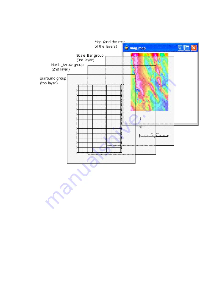
As you use the system, you will become familiar with the information that is stored in
each type of
View
and how to manipulate them (for example, by turning off a map layer
for plotting purposes). And as shown in the next section, you will also learn to activate
dynamic links between databases, profiles and maps so that you can perform advanced
processing (selection of parameters) as well as interactive analysis and visualization.


