Tutorial 2: Working with Data
47
the selected datasets and their download options, click the
[Get Data]
button to
download and display the DAP data on your current map.
Note:
There are a variety of DAP display technology features available including:
re-project the grid to the projection of the current map view, re-project and
resample the grid to a specified resolution, save the grid in the native
projection format, display the grid as a simple colour image, display the grid
as a shaded colour image, and download and save only, do not display the
grid.
7.
Once the download is complete click the
Exit
(
) button to close the window.
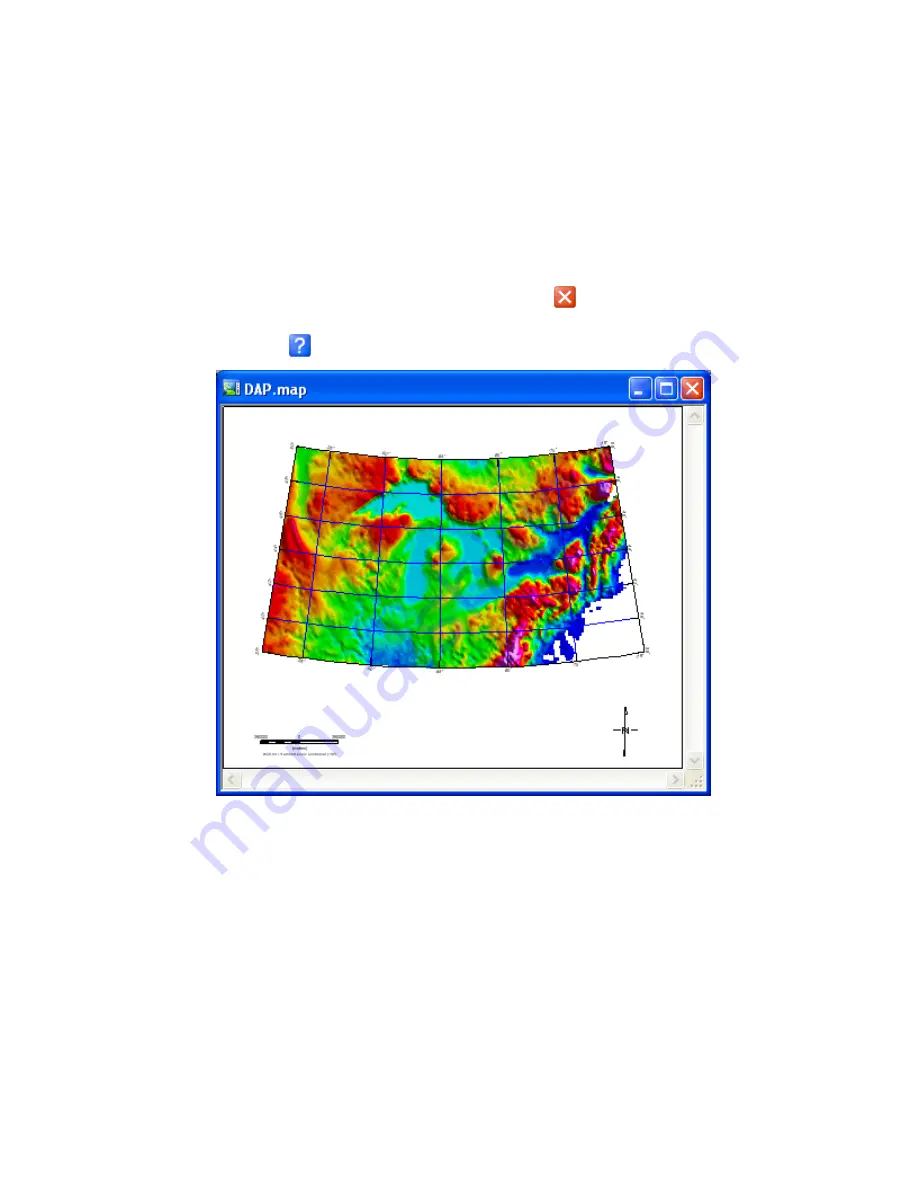
The gridded data will be displayed in your open map. For more information, click
the
Help
(
)
button on the
Get DAP Data
dialog.
Using the Metadata Tool
The
Metadata Browser
is a tool for viewing metadata associated with a DAP dataset.
Metadata is information about data. Metadata can be simple or complex and the
descriptive needs of different kinds of data are infinitely diverse. To allow for this and
provide flexibility, Geosoft metadata is stored in a hierarchical data structure called a
"meta". The Metadata browser will displays the meta structure (also called a "schema")
and the metadata information of a specific data source. Each branch of a metadata
structure may contain a set of Attributes with associated Values, and other branches.
Following is an example of the metadata that is stored for the “Canada_Gravity_2k.grd”
file on the DAP server:


