Appendix 1: Geosoft Concepts
83
Maps are more than printed sheets of information
Geosoft’s mapping capabilities are the result of more than a decade of programming
development, and the options for producing and editing maps — as well as the quality of
output — reflect this level of experience. You can use the system to produce a variety of
professional presentations quickly and easily.
However, you should also be aware that a map is more than a printed sheet of information
in
Oasis montaj
; the Map view gives you an electronic area for analyzing, visualizing
and editing your data and information.
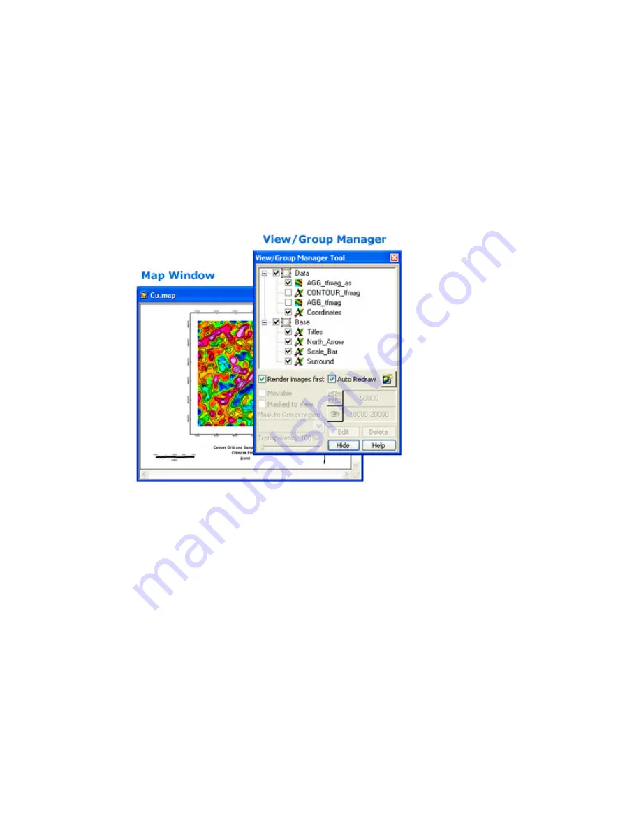
When you create a new map the system opens up a new blank
Map Window
. After a
Map
Window
is open, you can add a wide variety of data- and base map-related information.
Oasis montaj
Maps use
Views
to organize and display information. A
View
divides the
information on a map into a
Base
view, which uses paper coordinates, and a
Data
view,
which uses ground coordinates. Map surrounds, north arrows, and scale bars are examples
of map groups plotted in the
Base
view. Map coordinates, contours, and grids are
examples of map groups that are plotted in the
Data
view.
Groups are a fundamental part of maps.
Oasis montaj
uses
Groups
to determine the order
in which objects are displayed (rendered) on a map. Groups are layered on top of each
other in a specific order determined by the
View/Group Manager Tool
. You can create,
edit, move, hide, and mask groups. You can also move groups in front and behind each
other. Any new object you add to a map, such as a polygon or line, is added to the current
group.
True transparency has been added and is automatically enabled, with video cards that
support it. For users who don’t have video cards that support true transparency, ‘Light
table’ display technology will be applied. Each group or layer in a map has individual


