GTD-110/150
Chapter 6
Using the menu
0093151542-06
6-27
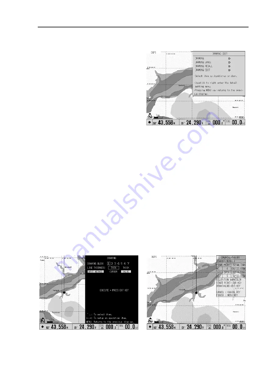
6.10 DRAWING EDIT sub menu
For any operation concerning drawing, selects
DRAWING from the MAIN menu. This menu
includes ”DRAWING”, “DRAWING ERASE”,
“DRAWING RECALL” and “DRAWING EDIT”.
6.10.1 DRAWING
Using this function, you can create lines, squares,
polygons etc. on the screen. GTD-110/150 has
drawing memory arranged in 7 blocks, 500 points
each. A graphic drawing can be created by the
cross cursor and specifying the latitude/longitude
grid.
6.10.1.1 Drawing by entering the latitude and longitude
This method is used when each node of the area can be read from a chart such as a fishery zone, a
dangerous zone, etc. To draw:
(1) In the DRAWING menu, select a DRAWING BLOCK from 1 to 7.
(2) Select the LINE THICKNESS, either THIN or THICK.
(3) Select VALUE in the INPUT METHOD.
(4) Select the mark by the COLOR (MARK) switch.
(5) Press the ENT key. The chart display and the DRAWING (VALUE) window will appear.
(6) In the black-shaded area in the menu, enter a starting node in latitude and longitude and then press
the CUR key.
(7) Enter the latitude and longitude of the next node and then press the ENT key. Repeat this
procedure for other nodes.
(8) Press the MENU key for the registration of the drawings.
Figure 6.31 DRAWING EDIT sub menu
Figure 6.32 Drawing a graphic by specifying nodes


