This is a brief description of GPS and how to use it with our SIR 3000. GPS information gets attached to
our data two different ways. First, the start and end positions are stored in the header of each *.DZT file.
Second, the timing of each marked scan is stored in a separate *.TMF file, which RADAN 6.0
incorporates into its database.
This paper gives a quick GPS overview and then describes what you need to know in order to effectively
use the SIR 3000 with a GPS.
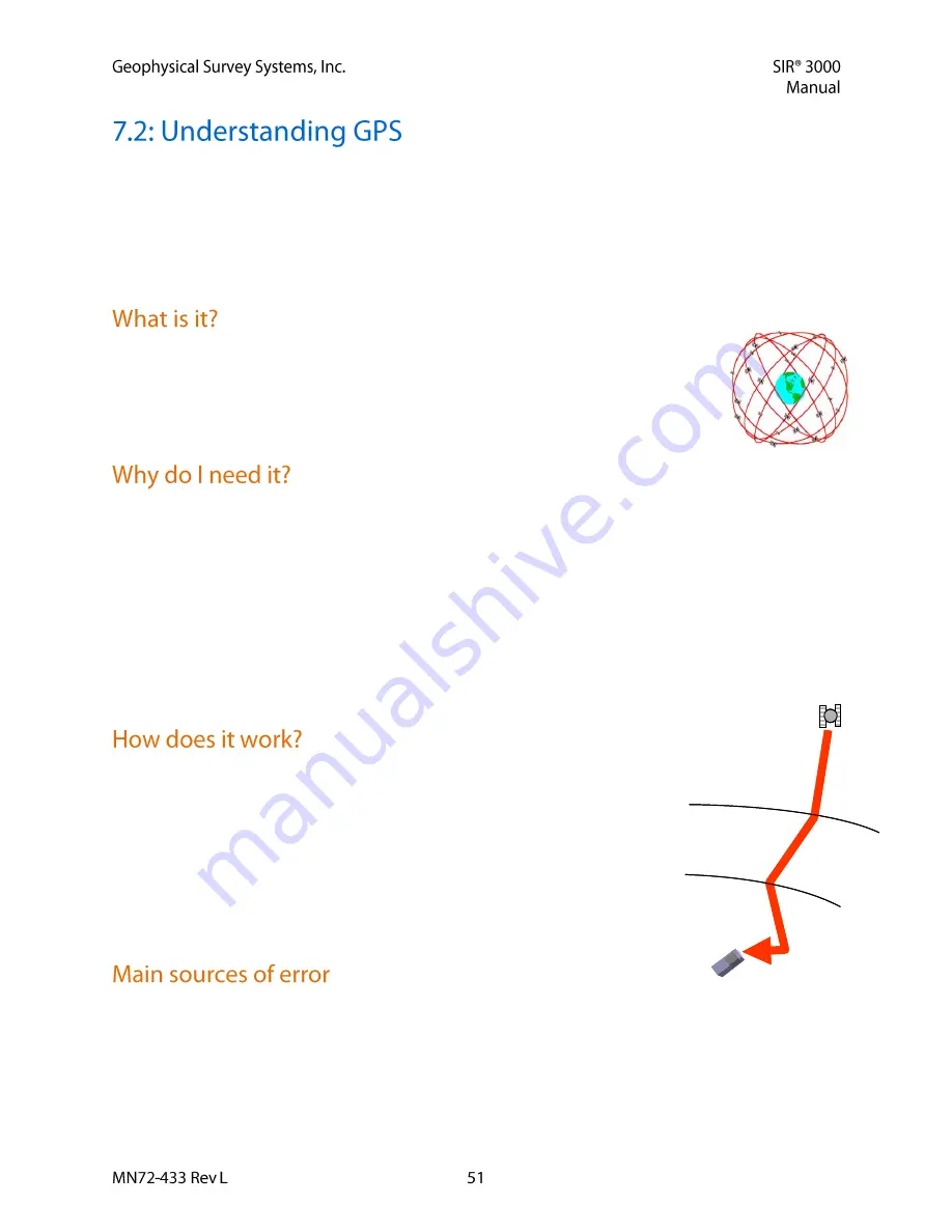
GPS is a satellite navigation system (provided free by the USDoD) designed to provide
instantaneous position, velocity and time information almost anywhere on the globe at
any time, and in any weather. It typically provides positioning accuracies ranging from 3
meters (costing $150) to 1cm ($15,000). Since it needs to see much of the sky, it works
poorly indoors, in woods and in “concrete canyons” like Manhattan.
You probably don’t! In fact for many Ground Penetration Radar applications you can just use a survey
wheel to measure your distance and take simple notes about your start and stop locations. And since
digging or drilling often requires more precision than 3meters, knowing “sort of” where you are is not
helpful.
However, as surveys become larger and as technologies improve, GPS can be very helpful in telling you
where you are on a map, or what road you turned onto, or what section of the avalanche you have already
covered, or even where you were in the middle of a lake. And of course if you actually need expensive
survey-grade GPS accuracy, we want to give you the hooks you need to place our RADAR data correctly.
Increasingly GPS is claiming a legitimate place in the ever increasing size and variety of GPR
applications.
GPS works by triangulating the distance from satellites in space. Like our
RADARs, these satellites just transmit time very accurately and estimate the
distance using the speed of light. Getting the travel-time from just three
satellites is enough to know where you are on the earth. Getting the travel-
time from 12 satellites greatly decreases the uncertainty of your position.
Typically around buildings and trees you might “see” six satellites, plenty to
know where you are to within 3 meters. The degree of precision depends on
many things, like how well distributed the satellites are in the sky, or the
travel path the signal took to get to your receiver.
GPR and GPS share a lot in common. The travel times and paths are directly affected by the medium. For
GPS, this means the signal from the satellites to your receiver can get slowed down and bent by changes
in the Ionosphere, the Troposphere and even nearby objects. These sources of error can be reduced using
expensive tricks like dual frequency, Klobuchar modeling and Real-Time Kinematic (RTK) solutions.
Ionospheric
Refraction
Tropospheric
Refraction
MultiPath
Reflection
GPS
Satellite
Ionospheric
Refraction
Tropospheric
Refraction
MultiPath
Reflection
GPS
Satellite

