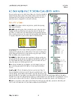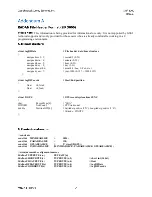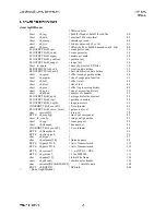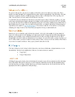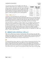
This mode is optimized for 2D profiling of shallow geological features such as high bedrock, sediment
bedding, water tables, etc. It is also useful for archaeological profiling. GeologyScan works with the 400
MHz, 270 MHz, 200 MHz, and 100 MHz antennas, though only the 400 and 270 MHz are small enough
to be mobilized on the survey cart. Other antennas will need to be dragged over the ground surface.
Upon clicking the GeologyScan button, you will be asked to click Right for English or Left for Metric
units. You will then see the data display screen and, if an antenna is connected, it will initialize and data
will start to scroll across.
There is no QuickStart Guide available for GeologyScan.
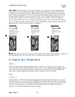
Choose your antenna by selecting the proper center frequency from the list under the RADAR submenu.
Select DISTANCE based or TIME based data collection under MODE. Remember to check the survey
wheel calibration. Choose 1024 (recommended), 512, or 256 samples/scan under the Samples submenu,
and then choose 16 (default) or 8 bit data collection under FORMAT.
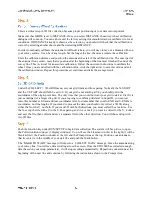
Select the appropriate soil type from the list of 4 presents. This will set your dielectric and affect your
maximum depth of penetration.
Then select your scans per unit from the list of presets. The presets are 6, 12, 18 per foot for English, or
10, 25, 50 per meter for Metric units.
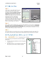
T_RATE: 100
RATE: 80
Range: Max for antenna
Gain: 5point Auto
Filters (All)
Offset position
Surface position

