44
Jeppesen Database Information
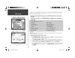
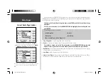
The following available fuels will appear under the ‘Airport’ tab:
Av (Avgas, 80/87 octane, 100LL or 100-130), Jet (Jet A, Jet A-1 or
Jet A+) and Mo (Mogas or 87 octane unleaded).
Under the ‘Runway’ tab:
Runway surface types include: hard, turf, sealed, gravel, dirt, soft,
unknown and water.
Runway lighting types include: part time, full time, pilot-controlled
(with frequency), no lighting and unknown.
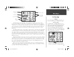
Direct To ( D )
Press and hold the
DIRECT TO
key to display the detailed
waypoint information pages for your destination waypoint.
Then use the
ARROW KEYPAD
to select the tabs across the
top of the page.
The
DIRECT TO
key can also be used to retrieve detailed information for your destination waypoint
(or the next waypoint in a route). You will fi nd this feature handy for retrieving navaid frequencies or air-
port information, such as communication frequencies, runway information, fi eld elevation or available fuels.
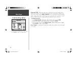
To view the Jeppesen database information for a destination airport or navaid:
1. Press and hold
DIRECT TO
to display the waypoint information pages.
2. Use the
ARROW KEYPAD
to select the desired fi le tab at the top of the page.
3. Use the UP/DOWN portion of the
ARROW KEYPAD
to scroll through available frequencies on the
‘Comm’ fi le tab.
4. When viewing information for the ‘Runway’ or ‘Approach’ fi le tabs, use the
ARROW KEYPAD
to
highlight the runway designation or approach name and press
ENTER
. Then use the UP/DOWN por-
tion of the
ARROW KEYPAD
to scroll through available runways/approaches. Choose the runway or
approach you wish to see additional information for, and press
ENTER
to remove the list window.
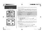
The layout of the information pages will change based upon the type of waypoint selected. The
identifi er will always appear at the top of the page and an on-screen ‘GOTO’ button will appear at the
bottom.
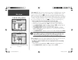
The following fi le tabs and information will appear for airports on the waypoint information pages:
• Airport
— identifi er, facility name, city/state/country, CTAF or tower frequency, available fuels,
fi eld elevation and airport position (latitude/longitude).
• Comm
— identifi er, frequency and frequency type. Available frequency types are: ATIS, Pre-taxi,
Clearance, Ground, Tower, Unicom, Multicom, AWOS, ASOS, Departure, Approach, Arrival,
Class B, Class C, TMA, CTA and TRSA.
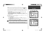
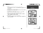
• Runway
— identifi er, runway designations, runway layout (map), surface type, lighting, length,
width and airport position (lattitude/longitude).
• Approach
— appears ONLY if the airport has a published approach. Shows identifi er, approach
name, approach waypoints and airport position (lattitude/longitude). Available approach types
include ILS, localizer, RNAV, GPS, VOR, VOR/DME and NDB.
190-00283-00Backup.indd 44
12/8/2002, 8:09:13 PM
Summary of Contents for GPSMAP GPSMAP 196
Page 1: ...Pilot s Guide Reference GPSMAP 196 196PG Covers indd 1 12 9 2002 4 34 25 PM...
Page 18: ...8 Basic Operation This page intentionally blank 190 00283 00Backup indd 8 12 8 2002 8 08 50 PM...
Page 121: ...190 00283 00Backup indd 111 12 8 2002 8 10 01 PM...
Page 122: ...190 00283 00Backup indd 112 12 8 2002 8 10 01 PM...


