18
Main Pages
Map Page Options
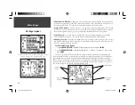
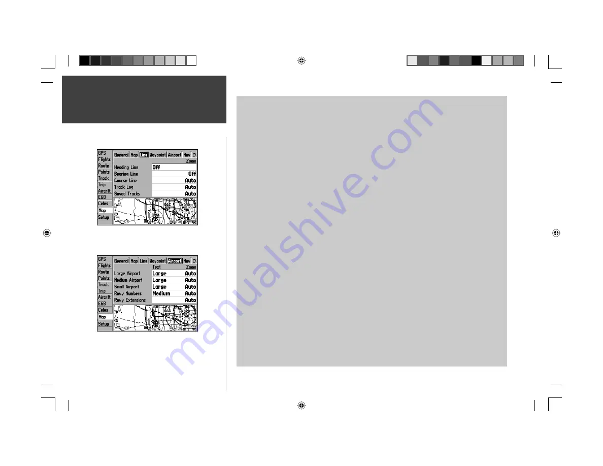
Line Tab
Heading Line— On/Off: turns the Heading Line on or off. A Heading Line is a projected line from
your current position which shows your current heading.
Bearing Line— Auto, Off, 20 ft.-800 mi.: sets the maximum scale at which the Bearing Line appears
on the screen. The Bearing Line shows the bearing from your current location to your destination.
Course Line— Auto, Off, 20 ft.-800 mi.: sets the maximum scale at which the Course Line appears on
the screen. The Course Line shows a direct navigation line from the point navigation was initiated to a
destination waypoint.
Track Log— Auto, Off, 20 ft.-800 mi.: sets the maximum scale at which the active Track Log appears
on the screen. A track log is an electronic bread crumb trail showing where you have been.
Saved Tracks— Auto, Off, 20 ft.-800 mi.: sets the maximum scale at which any saved Track Logs will
appear on the screen.
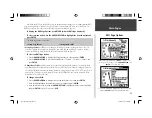
Waypoint Tab
Waypoints— Text Off, Small, Medium, and Large: controls the screen size of the waypoint name.
Zoom Auto, Off, 20 ft.-800 mi: sets the maximum scale at which user waypoints appear on the screen.
Active Route— Text Off, Small, Medium, and Large: controls the screen size of active route waypoint
names. Zoom Auto, Off, 20 ft.-800 mi: sets the maximum scale at which active route waypoints
appear on the screen.
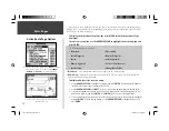
Airport Tab
Large/Medium/Small Airport— Text Off, Small, Medium, and Large: controls the screen size of the
airport identifi er. Zoom Auto, Off, 20 ft.-800 mi: sets the maximum scale at which airports appear on
the screen. Large airports are those with a runway longer than 8000’. Medium airports are those with a
runway longer than 5000’ or with a control tower.
Runway Numbers— Text Off, Small, Medium, and Large: controls the screen size of runway numbers.
Zoom Auto, Off, 20 ft.-800 mi: sets the maximum scale at which runway numbers appear on the
screen.
Rnwy Extensions— Zoom Auto, Off, 20 ft.-800 mi: sets the maximum scale at which runway exten-
sions appear on the screen.
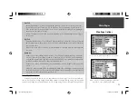
Use the ‘Line’ tab to remove/display the active track log or any
saved track logs.
The ‘Airport’ tab lets you display runway numbers and/or
runway extensions, or turn these map features off.
190-00283-00Backup.indd 18
12/8/2002, 8:08:56 PM
Summary of Contents for GPSMAP GPSMAP 196
Page 1: ...Pilot s Guide Reference GPSMAP 196 196PG Covers indd 1 12 9 2002 4 34 25 PM...
Page 18: ...8 Basic Operation This page intentionally blank 190 00283 00Backup indd 8 12 8 2002 8 08 50 PM...
Page 121: ...190 00283 00Backup indd 111 12 8 2002 8 10 01 PM...
Page 122: ...190 00283 00Backup indd 112 12 8 2002 8 10 01 PM...


