


37
5.5.4
Navigation Display Options
The navigation display options control the appearance of information on the Artemis
console during the dive.
Diver Colour
Use these buttons to choose the colour the diver (and trail) is represented as.
Depending on the marker colours chosen, you may wish to choose a contrasting colour.
By default red is selected.
Extend Diver Heading
Tick this option to show a “heading line” extending out from the diver icon. The
heading line can assist the diver in determining if they are on the correct course.
Connect Waypoints
Tick this option to draw interconnecting gray lines between the defined Waypoint
markers in the mission file. This is useful if waypoints have been entered to define a
search pattern or path that should be followed.
5.5.5
Importing & Exporting Mission Data
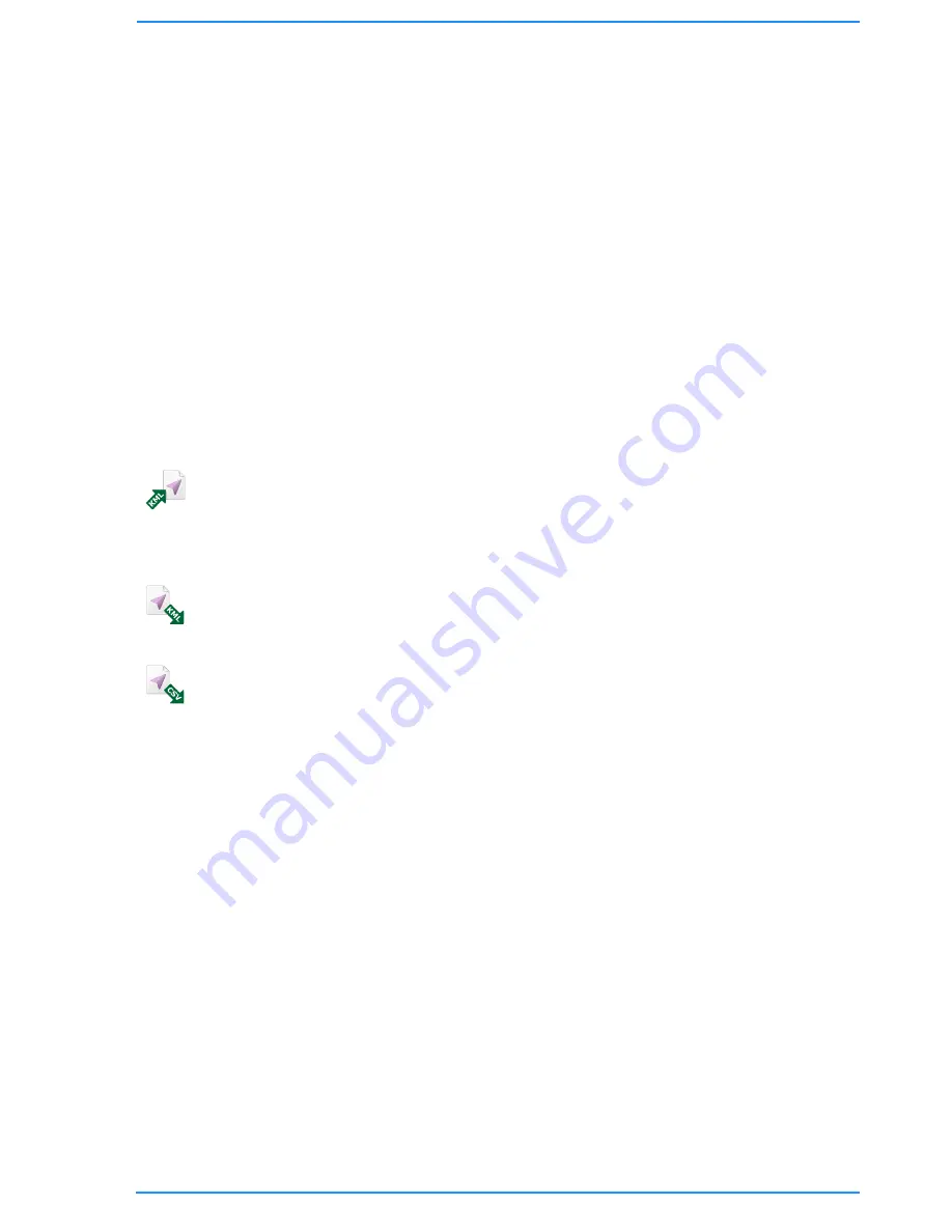
Import KML Markers
As an alternative to entering mission navigational markers manually in the Mission
Editor, third-party programs (such as Google Earth™) allow them to be graphically
placed and saved to a KML file.
Choose this option to import any place-marks defined in a KML file as mission markers.
Export KML Markers
Exporting the mission markers to a KML file allows them to be opened and graphically
edited in third-party programs (such as Google Earth™).
Export CSV Markers
The option exports the markers defined in the mission file, as a list of Comma
Separated Variables (CSV), which can be opened and manipulated in spreadsheet
applications.
Содержание BP00707
Страница 1: ...Diver Sonar Navigator USER GUIDE...
Страница 2: ......
Страница 71: ......
Страница 72: ...P N BP00697 4 UM 141 P00697 04 March 2015 Distributor...


