12.4. USING PINPOINT-GIS WEB
12.4 Using PinPoint-GIS Web
PinPoint-GIS Web allows you to perform data collection which is synchronized directly with
Esri ArcGIS Online.
It works on any platform with a web browser and makes the bridge
between GIS and accurate data collection.
The following steps will guide you through the main functionalities of PinPoint-GIS Web in
combination with the Altus NR2 receiver.
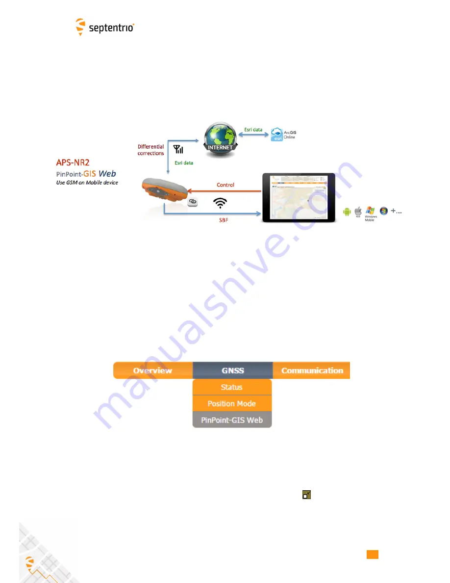
The PinPoint-GIS view is located in the GNSS/PinPoint-GIS menu of the web interface
as shown in Figure 12-2.
Within this view you have full access to your ArcGIS Online
user maps.
The system allows you to select your ArcGIS Online user maps, change the
background of your user map using the multiple Basemaps available from Esri, Display or
hide the different layers and filters of your map, and will allow you to have configurability
for Portal for ArcGIS in the case your data is located in an specific secured ArcGIS Server.
Figure 12-2:
PinPoint-GIS Web menu
Navigation within the PinPoint-GIS Web view is straightforward and allows you to visualize
all the main GIS and GNSS information in a single view. The view can easily be maximized
using the maximize/minimize button in the right corner of the map
. This is handy when
working in the field with tablet screens.
59

