-130-
v7.3
Cloud Connectors
Meshlium
X
treme
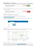
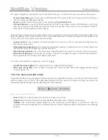
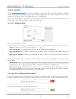
Figure: ArcGIS Online “Start” button
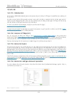
Clicking on the “Stop” button will disable the Esri Cloud connector so Meshlium device stops feeding the ArcGIS
Online service with data.
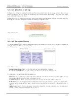
Figure: ArcGIS Online “Stop” button
12.3.9.1.1.
Check the Feature Server in ArcGIS Online
In order to check that data is arriving to ArcGIS Online, you should login in the platform:
https://www.arcgis.com/home/signin.html
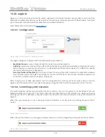
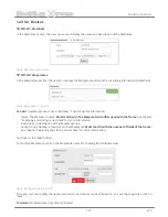
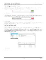
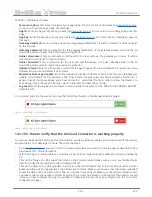
Click on the option named “Gallery” and you should see a new Feature Server with the name that you provided in
the Meshlium configuration plugin:
Figure: ArcGIS Gallery
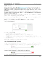
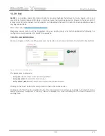
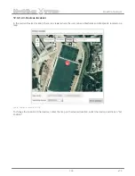
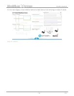
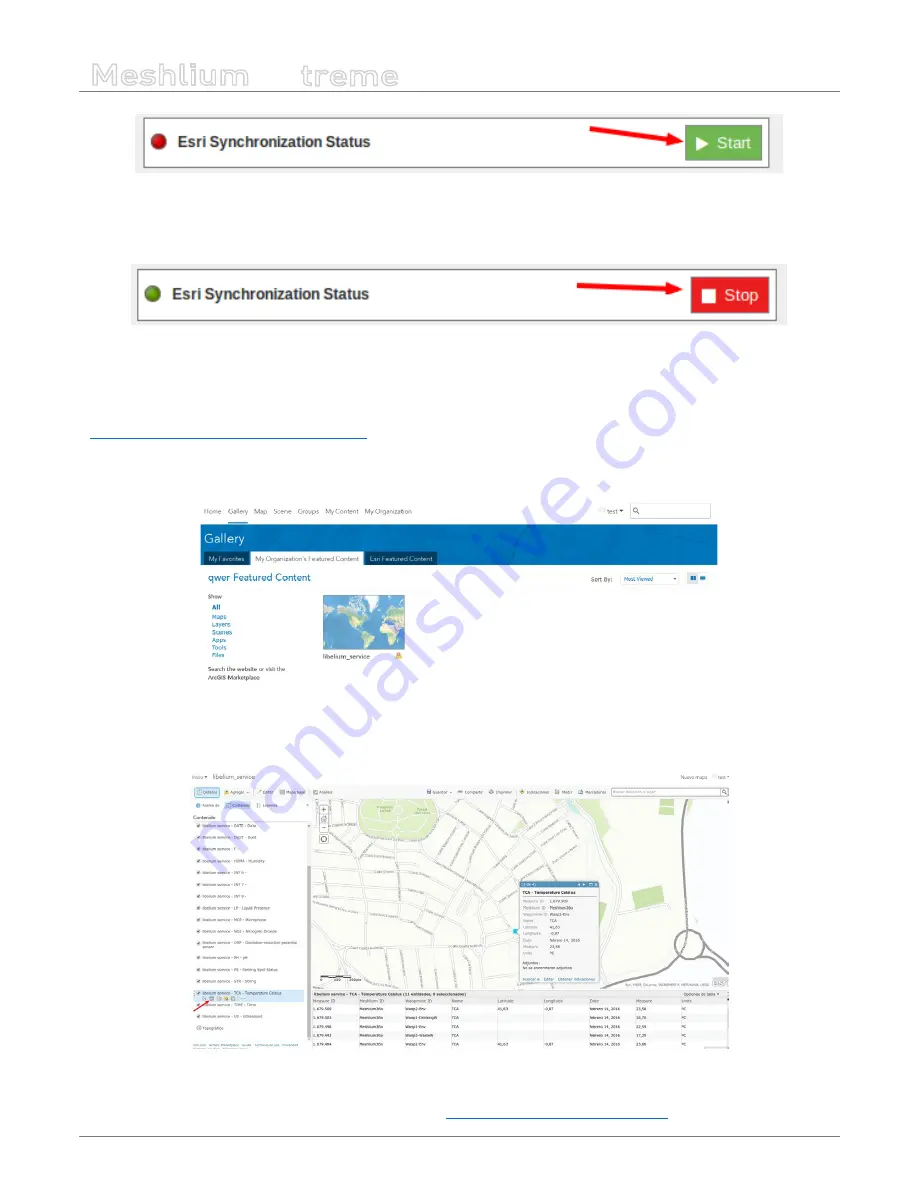
Opening the new content, you should see a map where each layer is one sensor type available in your project.
Clicking on the table icon, all the data collected for this type of sensor will be displayed.
Figure: ArcGIS sensor map view
At this point, it is possible to use this data to create new maps, collaborative apps or analytics making use of the
complete array of services provided by ArcGIS Online:
https://developers.arcgis.com/en/
.


