-129-
v7.3
Cloud Connectors
Meshlium
X
treme
12.3.9. Esri
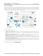
ArcGIS
is a complete spatial information platform provided by
Esri
, that allows to create, analyze, store and
spread data, models, maps and 3D globes. It can be accessed via desktop application, browser or handsets. ArcGIS
is targeted at GIS professionals, location analysts and developers that want to create their own applications based
on geographical data.
More information:
http://www.esri.com/products
Waspmote sensor data could be integrated into your existing maps and ArcGIS applications following the
configuration steps described for ArcGIS Online service.
12.3.9.1. ArcGIS Online
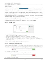
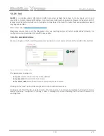
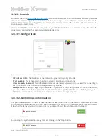
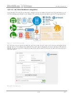
We can configure in this form all the parameters needed to connect and send data to the ArcGIS Online platform.
Figure:
ArcGIS Online configuration
The parameters to setup are:
•
esri_user:
User for the Esri ArcGIS online platform.
•
esri_password:
Password for this Esri user.
•
esri_service_name:
Name of the service which will receive the data.
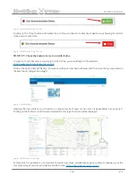
Clicking on the “Save” button, this setup is sent to the ArcGIS online service.
Clicking on the “Start” button enables the Esri Cloud Connector to send data periodically to the ArcGIS Online
service previously configured. A “running” status is displayed on screen showing that the Cloud Connector is
sending data.


