70
GPSmap 60
Appendices
Data Field Options
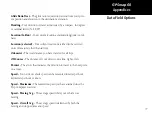
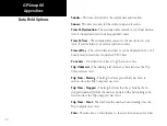
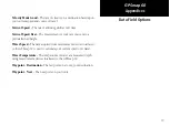
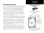
The following list provides a brief description of each data field
option. Some of these options are supported only by devices interfaced to
your GPSmap 60.
Accuracy GPS -
The current accuracy of your GPS determined location.
Bearing -
The compass direction from your current position to a destina-
tion point.
Course -
The desired path of travel from your starting point to your destina-
tion point.
Depth -
The depth of water from sonar NMEA input.
Distance - Next -
The distance to the next point on a route.
Distance - Destination -
The entire distance, from beginning to end, of
a route.
ETA - Next -
The estimated time that you will arrive at the next point on
your route, if you maintain your current speed and course.
ETA - Destination -
The estimated time that you will arrive at your
destination, if you maintain your current speed and course.
Elevation -
The distance above or below mean sea level.
Glide Ratio -
The ratio of horizontal distance traveled to vertical dis-
tance.
Summary of Contents for GPS 60 - Hiking GPS Receiver
Page 1: ...map navigator owner s manual GPSMAP 60 ...
Page 93: ......


