Garmin aera 500 Series Pilot’s Guide
190-01117-02 Rev. C
123
Hazard Avoidance
Overview
GPS Navigation
Flight Planning
Hazar
d A
voidance
Additional F
eatur
es
Appendices
Index
Traffic
Identification
and Altitude
Traffic Data (Navigation Map)
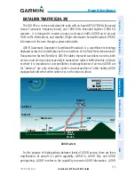
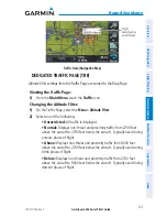
DEDICATED TRAFFIC PAGE (TRF)
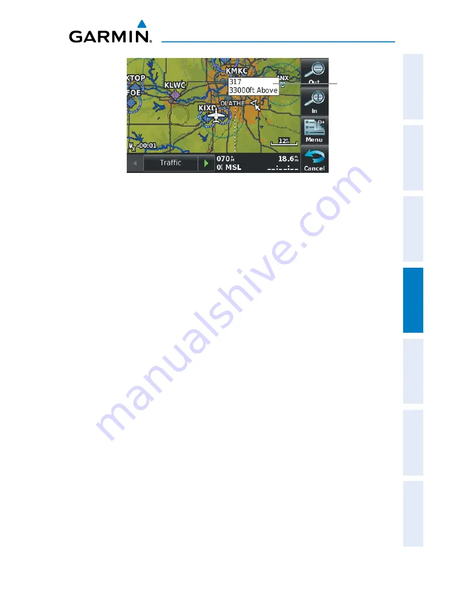
Altitude filter settings from the Traffic Page are carried to the Map Page.
Viewing the Traffic Page:
1)
From the
Main Menu
touch the
Traffic
Icon.
Changing the Altitude Filter:
1)
On the Traffic Page, select the
Menu > Altitude Filter
.
2)
Select one of the following:
•
Unrestricted:
All traffic is displayed.
•
Normal:
Displays non-threat and proximity traffic from 2700 feet
above the aircraft to 2700 feet below the aircraft. Typically used during
enroute phase of flight.
•
Above:
Displays non-threat and proximity traffic from 9000 feet
above the aircraft to 2700 feet below the aircraft. Typically used during
climb phase of flight.
•
Below:
Displays non-threat and proximity traffic from 2700 feet
above the aircraft to 9000 feet below the aircraft. Typically used during
descent phase of flight.
Summary of Contents for aera 560
Page 1: ...models 500 510 550 560 Pilot s Guide...
Page 2: ......
Page 3: ...OVERVIEW GPS NAVIGATION FLIGHT PLANNING HAZARD AVOIDANCE ADDITIONAL FEATURES APPENDICES INDEX...
Page 4: ......
Page 10: ...Garmin aera 500 Series Pilot s Guide 190 01117 02 Rev C Warnings Cautions Notes Blank Page...
Page 12: ...Garmin aera 500 Series Pilot s Guide 190 01117 02 Rev C RR 12 Blank Page...
Page 229: ......


