40
GPX files on the map view
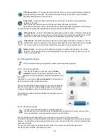
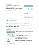
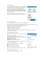
In the GPX manager, you can display waypoints, tracks and geocaches that you have created yourself. The
map can be moved using the arrow keys and the hand icon. The zoom level of the map can be changed with "+"
and "-". Viewing options such as satellite and map are located at the top right-hand edge of the map view
screen.
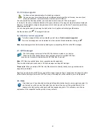
In the bottom section of the GPX manager, you can display the altitude and speed profiles, length, time and
description of tracks and waypoints. If no information exists in relation to this, the detailed view remains empty
at this point. If no actually required time exists, the anticipated required time is calculated based on the average
speeds for cyclists and pedestrians which exist in the navigation device.
20.2 Transfer of content
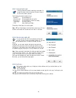
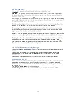
All of the available data is summarised in various categories. In the top section of the screen interface, the
categories Country maps, POIs, Tours and Raster maps (optional) are presented in the form of tabs. Click on a
tab to view all of the data for this category listed in the overview.
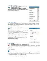
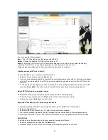
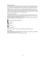
Thanks to row headings and corresponding icons, you can tell from the overview where the individual data for
the various categories is saved. The data may be stored
in the internal memory of the navigation device,
on the SD card,
on the PC,
on CD/DVD or
on an internet server.
Important
: An active internet connection must exist to enable downloading from the internet.
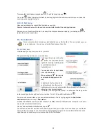
Copy or delete:
Click on GPX-data, which you want to copy and click then on "install". Now you can choose, if the data should
be saved on the internal memory or on SD card.
Please note that the memory capacity of the internal memory is limited.

