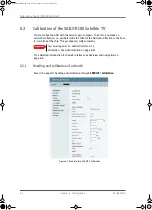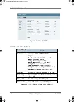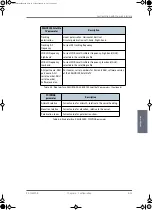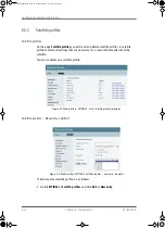
Calibration of the SAILOR 100 Satellite TV
98-136280-B
Chapter 6: Configuration
6-5
6666
Co
n
figur
ati
o
n
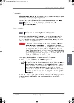
Fixed heading
Do not use fixed heading for vessels!
Use fixed heading only for fixed installations like
remote areas or oil rigs, during training and test.
You can enable fixed heading and enter the fixed heading in degrees. Click
Apply
.
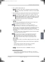
Azimuth calibration
Azimuth calibration is done toward a satellite of a known position. After finding the
satellite, the system can calculate the azimuth offset of the ADU installation. The
satellite and transponder properties for the calibration can be selected from a list of
reference satellites or supplied manually.
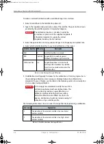
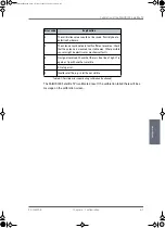
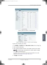
To make an azimuth calibration on a reference satellite, do as follows:
1. Select a reference satellite from the
Satellite
drop-down list.
2. Click
Start
and wait typically 5 minutes for the calibration to finish. A progress bar is
shown during calibration and a message is displayed when the calibration has
completed.
Note
If you change the heading settings you must make an azimuth
calibration afterwards.
Note
The ship must not move during the calibration procedure.
Important
It is strongly recommended to use the reference satellites in the drop-
down list instead of manual input.
It is difficult to manually supply
information that is unique and will not possibly match a different satellite
than expected. Hence, when manually supplying the data, there will
always be an underlying risk of getting a wrong calibration value though
the calibration procedure completes with a positive acknowledgement. In
particular, supplying the data of a given transponder, from which the user
wishes to watch TV, does not reduce this risk.
Note
There must be free line of sight to the satellite and the elevation toward the
satellite shall be in the range 5°—70° but preferably below 60°. Finding a
reference satellite that covers the location of the vessel and is within the
valid elevation range, is done through trial and error. It is therefore
recommended to start with reference satellites with a longitude close to the
current longitude of the vessel. To see the longitude of the vessel, go to the
DASHBOARD
.
SAILOR100IM.book Page 5 Friday, January 18, 2013 10:28 AM
Содержание 100
Страница 1: ...INSTALLATION MANUAL SAILOR 100 Satellite TV ...
Страница 2: ......
Страница 8: ...vi 98 136280 B SAILOR100IM book Page vi Friday January 18 2013 10 28 AM ...
Страница 140: ...Troubleshooting 8 14 Chapter 8 Service 98 136280 B SAILOR100IM book Page 14 Friday January 18 2013 10 28 AM ...
Страница 141: ...Appendices SAILOR100IM book Page 1 Friday January 18 2013 10 28 AM ...
Страница 142: ...SAILOR100IM book Page 2 Friday January 18 2013 10 28 AM ...
Страница 174: ...List of ACU events C 10 Appendix C System messages 98 136280 B SAILOR100IM book Page 10 Friday January 18 2013 10 28 AM ...
Страница 178: ...Glossary Glossary 4 98 136280 B SAILOR100IM book Page 4 Friday January 18 2013 10 28 AM ...
Страница 185: ......
Страница 186: ...info thrane com thrane com 98 136280 B ...

