Street Atlas USA 2011
178
Symbol Editing Tools
Draw Tool Box
DeLorme XSym has a Draw Tool Box that lets you create and edit symbols within the
Symbol Editing Grid independently of the DeLorme mapping program. The tools provided
help you to create unique symbols to add to your map.
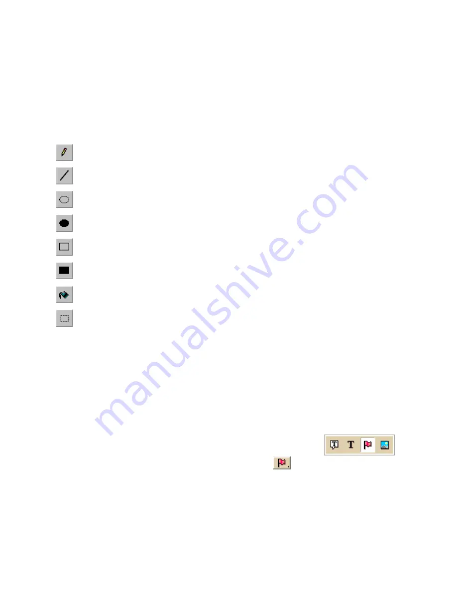
The following are the tools available in the Draw Tool Box.
Pencil—Draw freehand lines within the grid.
Line—Draw lines by clicking and dragging to the end point you want within the
grid.
Ellipse—Create an ellipse by clicking and dragging until you achieve the size or
shape of the ellipse you want.
Filled Ellipse—Create a filled ellipse by clicking and dragging until you achieve
the size or shape of the filled ellipse you want.
Rectangle—Create a rectangle by clicking and dragging until you achieve the
size of the rectangle you want.
Filled Rectangle—Create a filled rectangle by clicking and dragging until you
achieve the size of the filled rectangle you want.
Fill—Use the fill tool to fill an area of the grid with a color chosen from the color
palette.
Select—Use select to choose an area of the symbol to copy from the Symbol
Editing Grid and then paste into the same symbol or another symbol in the grid.
Using the Transparency Option
The transparency option in DeLorme XSym lets you display a selected color as transparent
in the final symbol image you place on a map within a DeLorme mapping program. For
example, you may want to view the symbol object without the square of the surrounding
background color. You would then select the background color to appear transparent.
To Make Part of a Symbol Transparent
Use the following steps to make part a symbol transparent.
1.
Click the Draw tab.
2.
Click and hold the Symbol/MapNote/Text Label/Image tool
to view its hidden options. Select the Symbol tool
.
3.
Under Symbols, select the symbol set that contains the symbol you want to edit.
4.
Click Edit.
The DeLorme XSym dialog box opens.
5.
Select the symbol you want to edit from the Symbol Selection.
The symbol displays in the Symbol Editing Grid.
6.
Select the Transparent option under Transparency.
Содержание Street Atlas USA 2011
Страница 2: ......
Страница 10: ......
Страница 36: ...Street Atlas USA 2011 26 GeoTagger Print Print Screen ...
Страница 40: ...Street Atlas USA 2011 30 ...
Страница 52: ...Street Atlas USA 2011 42 Step 8 Exit the MapShare Wizard Click Close to exit the MapShare Wizard ...
Страница 96: ......
Страница 192: ......
Страница 208: ......
Страница 224: ......
Страница 226: ......
Страница 242: ......
Страница 244: ......


