MAP 600 – User’s Manual
Page 18
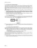
8.5 Datum
Maps are created using different standards. The most common is WGS-1984 (World Geodetic System 1984) and it is the
standard mainly used by the GPS devices. For this reason, we suggest not making any change to the default setting
except for particular requirements, as the selection of a wrong standard may cause measurement errors.
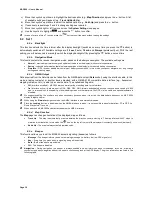
8.6 Set AR
This Menu sets the main functions about Navigation:
•
Route Optimize
– Enabling this setting, MAP600 will calculate the route using highways and main roads, and avoiding
narrow or winding roads. Disabling this setting, MAP600 will calculate the route without considering the road typology.
•
Avoid Highway
– The route will be calculated in order to avoid highways (if possible).
•
Auto Zoom In
– With this setting, MAP600 enables a 50m zoom when a distance of 200m from a turn is reached, in order to
allow you to better understand the route to drive through. Moreover, it enables driving with arrow on the Map.
•
Road Match
– This setting executes a graphic/visual “Collimation” of the Map with the GPS signal. In practice it shows your
position always on the line of the road even if, during navigation, the GPS tolerance should have displayed it slightly outside
of the road.
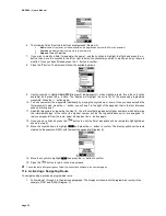
8.7 Time
•
Current Time
– This menu item shows you hours, minutes and seconds.
•
Adjust Time
– Allows you to adapt the displayed time depending on the time zone:
–
Plus / Minus
– Specifies if the time shifting is earlier or later respect to the Greenwich meridian.
–
Hour
– Hours shifting with respect to the Greenwich meridian.
–
Minute
- Minutes shifting with respect to the Greenwich meridian (only for special applications).
Содержание MAP600
Страница 1: ......


