formation, to enable you to enter destina-
tions quickly and to optimise route guidance.
Deleting stored data
1.
Touch
Basic functions
Delete usage pattern
.
2.
Touch confirmation to delete.
Navigation equipment and
symbols
Please refer to and on page 218 and
at the start of the chapter on page 238.
Navigation
The navigation functions depend on the
equipment level and country.
The function buttons and displays depend on
the settings and the current driving situation.
Equipment
— Destination input and route calculation.
— Personal POIs.
— 3D City Maps.
— Online map update.
— Online Traffic Information.
— 360° range display.
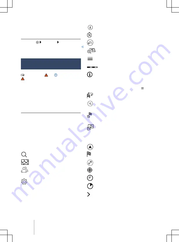
General navigation symbols
Search for and select destinations.
Display the navigation map.
Open the contact list of the connec-
ted mobile device to retrieve address
data.
Open the settings.
Map symbols
The map displays symbols for traffic an-
nouncements and POIs, e.g. filling stations,
when navigation data is available
Display current position.
Align the map to north.
Display additional window with route
options.
Align the map to the direction of
travel (position, zoom and angle).
Display additional window with fur-
ther options.
Map scale.
Display information on the route.
Symbols in the additional window
— To open the additional window, touch .
Repeat the previous navigation an-
nouncement.
Mute navigation announcements and
adjust volume for navigation an-
nouncements.
Display route overview and informa-
tion about the current route, e.g. al-
ternative routes.
360° range display.
Route plan symbols
Touch the route plan to open the route plan.
Current position.
Destination of the current route guid-
ance.
End the current route guidance.
Forecast distance to the destination.
Forecast time of arrival at the desti-
nation.
Forecast time needed to reach the
destination.
Close the route plan.
240
Infotainment system


