CR40/42/50 MKII C-MAP attributes
Appendix C
163
C-MAP attributes
The optional detailed C-MAP carts can provide numerous of functions which are
accessible via symbols presented on the chart.
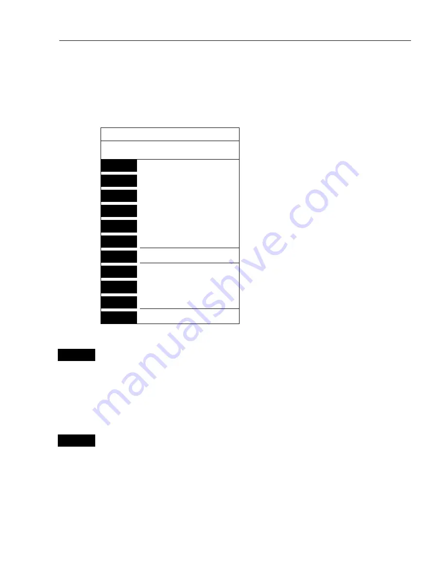
Place the cursor on a C-MAP object and press
[ENT]
to call up an info window:
Scale: 1:200000
Actual chart scale.
No user data
at cursor position
1
Edit user data
-Inactive function.
2
Chart info
-See below.
3
Find nearest port services
-See below.
4
Bearing & dist. from A to B
-Section 3.3 Info windows.
5
Lock cursors
9
Chart setup
-Section 3.4 Chart setup.
0
Cursor to center
-Section 3.3 Info windows.
GOTO
Select NAV mode
-Section 3.3.8 GOTO function.
PLOT
Plot new data
-Section 3.3.9 PLOT function.
PAGE
More user data
-Inactive function.
MENU
Exit
2
Chart info
will provide information on the C-MAP objects e.g. Light-
house, Depth area, Fishery zone, Navigation mark, Buoy, Fog signal,
etc. Even though it says “No attributes” for an object, you may try to
press [ENT] to see if there is additional information available for the
object. The additional information for e.g. Lighthouse could be: Lights
and Tower.
3
Find nearest port services
will call up a list of symbols with relevant
information on each symbol e.g. use cursor to go to the
“Port/
Marina”
symbol and then use the +/- keys to highlight the location
you wish to locate on the chart by pressing
[ENT].
)
The chart will now zoom in on the Port/Marina location you
selected from the list.
Use the same procedure to locate a Hospital, Coast Guard, Fuel
Station, Public Telephone, Provisions, etc.


