Selecting Destinations
81
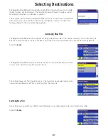
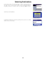
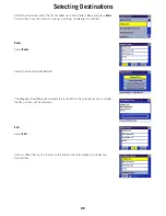
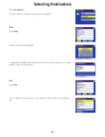
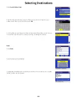
The Magellan RoadMate will calculate the route. When the calculations are complete,
the Map screen will be displayed. The distance represents travel on roads as well as
the straight lines where no road data is present.
The conditions for basemap routing apply. Where there is no road data, a straight line
will connect your current position with the nearest highway onramp, and from the
highway offramp to the city center (See page 19).
Accessing Map Files
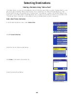
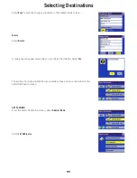
The Magellan RoadMate has the capability of storing detailed map files in its internal memory, or on an SD card. The
files are accessed in the same way. If however, you have only one map file stored, this file will be active by default.
Select the
Globe
.
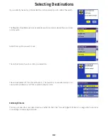
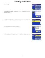
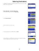
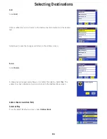
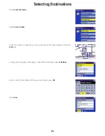
The Magellan RoadMate will list all available map files and also where they are stored
(unit or card). Select the map file you wish to use.
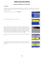
The unit will power off. Turn the unit back on. The map file is now loaded and you can
now route to addresses and POI’s covered by the active map file.
Switching Map Files
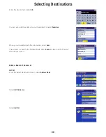
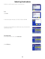
At any time you can switch map files to load information on another region contained in another map file.
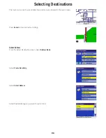
Select the
Globe
.

