34
Now enter the correction for your location. Remember, this is the differ-
ence between the location shown on the present position display and the
position shown on the chart. In this example, we entered 0 degrees, 0.047
minutes north latitude and 0 degrees, 0.244 minutes east longitude. That
is the difference between the present position shown by the GlobalMap
Sport™ and the one on our chart.
After you’ve entered the latitude/longitude correction, press the ENT key
to accept it. The GlobalMap Sport™ erases the PCF entry screen and
returns to the navigation or mapping screens with the correction factor
applied.
SYSTEM INFO
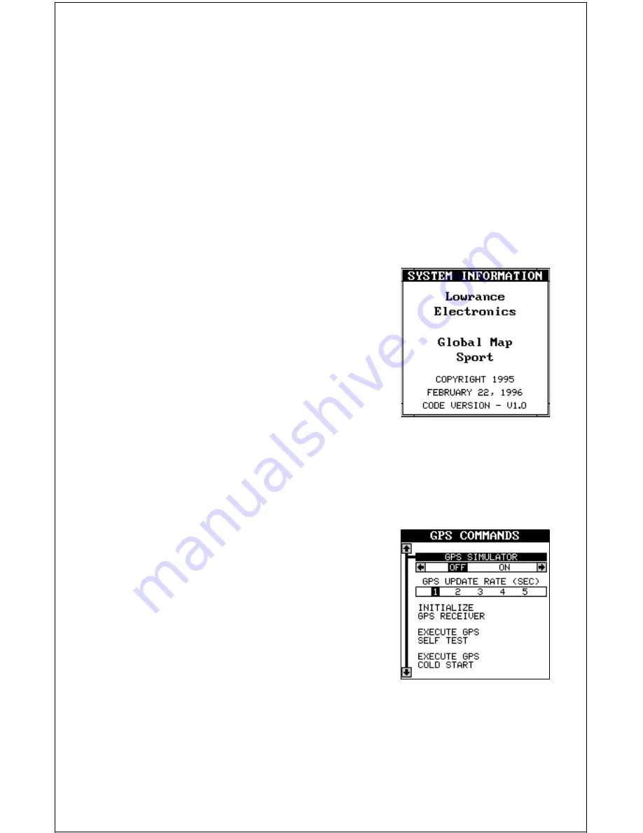
The system information screen shows the re-
lease date and the version number of the code
stored inside the GlobalMap Sport™. To view
this screen, press the MENU key, then press
the up or down arrow keys until the “System
Info” menu is surrounded by the black box. Now
press the right arrow key. A screen similar to
the one below appears. Press the EXIT key
when you’re finished reading this screen.
GPS COMMANDS
The GPS Commands menu has five sub-menus that affect the GPS re-
ceiver. From these menus you can turn the simulator on or off, set the
update rate, initialize the GPS receiver, do a self-test on the receiver, and
do a cold-start. (Note: The “Initial GPS Module” is covered in the “Getting
Started” section in the front of this manual.
To view these menu items, press the MENU
key, then press the up or down arrow keys until
the “GPS Commands” menu appears. Press
the right arrow key. A screen similar to the one
at right appears.
GPS Simulator
A simulator is built into the GlobalMap Sport™ that runs a pre-set course
off the Florida coast near Miami. When the present position reaches the
end of the course, the plot trail is erased and the simulator starts over. You
can use nearly all of the unit’s features - even save and recall waypoints.


