X
Turn
c
V
d
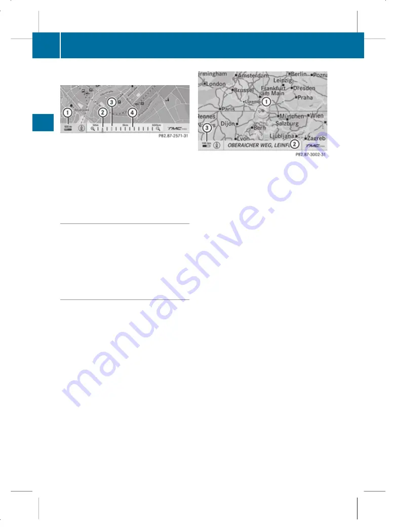
until the desired scale is set.
:
Map scale selected
;
Map scale selected on scale bar
=
Last map scale selected (prior to calling
up the scale bar)
?
Scale bar
Storing the current vehicle position as
a destination in the list of previous des-
tinations
X
Make sure that the menu system is shown.
X
To store: select
Position
Q
Save
vehicle position
.
COMAND stores the current vehicle posi-
tion as a destination in the list of previous
destinations (
Y
page 169).
Moving the map
i
It is only possible to move the map with
the menu system hidden. In certain coun-
tries, it is not possible to move the map
freely if the vehicle is travelling at more
than approximately 5 km/h. As soon as the
vehicle speed drops below about 3 km/h,
it is possible to move the map freely again.
X
Slide
Z
V
Æ
,
X
V
Y
or
a
V
b
.
A crosshair appears on the map.
:
Crosshair
;
Details of the crosshair position
=
Map scale
i
Display
;
may be the name of a street,
for example, provided the digital map con-
tains the necessary data.
If no data is available, display
;
shows:
R
the crosshair coordinates if the geo-
coordinate display is switched on
(
Y
page 139)
R
no display if the geo-coordinate display
is switched off (
Y
page 139)
Storing the crosshair position as a desti-
nation in the list of previous destinations
X
Show the menu system.
X
To save: select
Position
Q
Save posi‐
tion
.
COMAND stores the crosshair position as
a destination in the list of previous desti-
nations (
Y
page 169).
Hiding the crosshair
X
Press the
%
button.
The crosshair disappears and the map is
set to the vehicle position.
or
X
Set the map to vehicle or destination posi-
tion (
Y
page 137).
136
Navigation system* (introduction)
COMAND
* optional
221_AKB; 2; 3, en-GB
bjanott,
Version: 2.11.7.7
2009-02-27T14:56:10+01:00 - Seite 136
Dateiname: 6515231002_buchblock.pdf; erzeugt am 03. Mar 2009 15:17:16; WK


