41
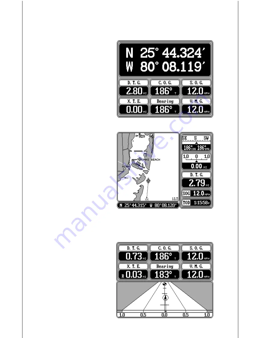
minute. For example, on this page, the present position is 25 degrees,
44.324 minutes latitude and 80 degrees, 08.119 minutes longitude.
Please note that you must re-
call a waypoint to use the Bear-
ing, Distance To Go, and Ve-
locity Made Good displays. See
the Waypoint Navigation sec-
tion for information on recalling
a waypoint.
For example, a waypoint was
recalled on the map screen at
right. The navigation screen at
the top of the page shows all of
the navigation data from our
present position on the map.
Pressing the NAV key at the
bottom of the unit while the navi-
gation screen is displayed
changes all of the boxes shown
at the bottom of the display. Of
course, all of these displays can
be changed or rearranged by the user in virtually any combination. See the
Customize Screens section for more information.
STEERING SCREEN
The steering screen shows a
pictorial view of your boat and
course travelled. This is called
a Course Deviation Indicator or
C.D.I. It also shows Distance
To Go (DTG), Course Over
Ground (COG), Speed Over
Ground (SOG), Bearing to
Waypoint (Bearing), Cross
Track Error (XTE), and Velocity
Made Good (VMG). All of the


