iScout® System User’s Manual
35
© McQ Inc 2008
5.3.2
Sensor Map
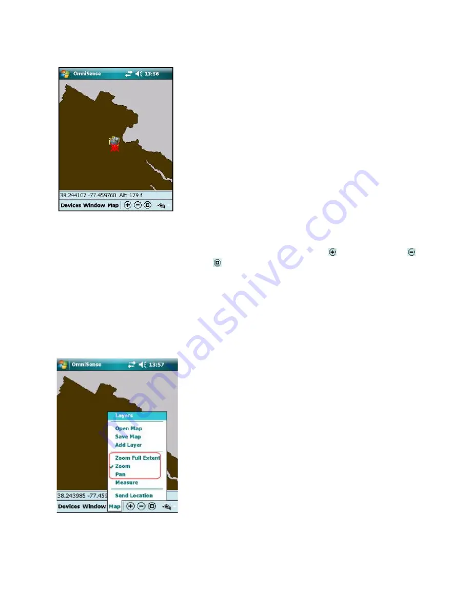
When turned on, the HHPM will display the Sensor Map,
along with the sensors currently reporting to the database
(Figure 5-14).
5.3.3
Navigating the Map
With the map you can
zoom
,
pan
and
measure distances
. To
zoom in
tap . To
zoom out
tap
. To
zoom to the full extent
of the map tap or tap the
Map menu
and select
Zoom Full
Extent
. The other three
Map menu options
(Zoom, Pan, Measure) are modes to interpret the
stylus. When
Zoom
is checked you can zoom in with the stylus by stretching a box from upper-left
to lower-right. A box in the other direction will zoom out.
When
Pan
is checked you can pan the map by dragging the stylus across the screen. When
Measure
is checked dragging the stylus shows the distance between two points.
Moving Using the Map Menu
Tap
Map
at the bottom of the screen to display the
Map
Menu
(Figure 5-15).
Zoom Full Extent
This option zooms the display out to the widest view of the
map.
Zoom
To use this feature, draw a diagonal box from bottom right to
top left to zoom out and from top left to bottom right to zoom
in. This feature will remain active until you uncheck the
Zoom option
.
Figure 5-14: Sensor Map
Figure 5-15: Map Menu Options


