41
WPT
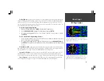
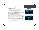
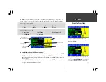
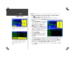
The layout of the ‘AVIATION’ information page will change subtly based upon the type of waypoint
selected. The identifier will always appear in the top left corner of the page, an area map will always
appear on the right-hand side and on-screen ‘GOTO’ button will appear at the bottom. Page 39
describes the information available for VORs, NDBs and Intersections. The following pages describe the
information available for airports.
Regardless of the type of waypoint displayed (airport or navaid), some functions available from the
‘AVIATION’ information page will always be the same. This includes the ability to adjust the scale of the
area map, to select the waypoint as a GOTO destination or to add the waypoint to a ‘favorites’ list.
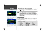
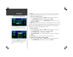
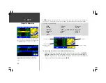
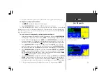
To adjust the scale of the area map:
1. With any waypoint information page displayed, press the
IN
zoom key to show greater detail for a
smaller map area,
OR
...
2. Press the
OUT
zoom key to show a larger map area.
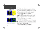
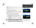
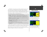
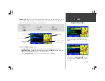
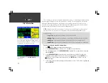
To select the waypoint as a GOTO destination:
1. With the desired airport or navaid displayed, use the
ROCKER KEYPAD
to highlight the on-screen
GOTO button and press
ENTER
. A course is plotted from your present position to the selected
destination waypoint.
In Land Mode, the GOTO line appearing on the map is constantly updated to your
present position. In Aviation Mode, the GOTO line and navigation guidance are fixed,
with the ‘from’ point being the position where the GOTO was initiated.
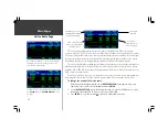
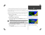
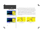
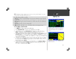
To add the selected waypoint to a list of favorites:
1. With the desired waypoint displayed on any waypoint information page, press the
MENU
key to
display an options window.
2. Use the
ROCKER KEYPAD
to highlight ‘Add to Favorites’ (if necessary) and press
ENTER
.
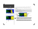
Airport/Navaid Information
To add a displayed waypoint to a list of favorites, press
MENU
and select ‘Add to Favorites’. The favorites list is a
handy shortcut to retrieve frequently used waypoints.
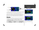
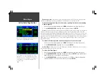
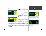
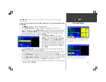
VOR information includes identifier, facility name, city,
position, region, frequency and co-located DME or TACAN.
To adjust the area map scale and see more detail around the
VOR, use the
IN
and
OUT
zoom keys.
F
Summary of Contents for GPSMAP 295
Page 1: ...Introduction 1 GPSMAP 295 Pilot s Guide Reference...
Page 2: ...2 Introduction...
Page 114: ...104 Appendix G...
Page 115: ...Appendix G 105...


