Main Pages
21
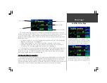
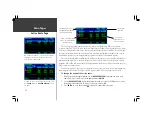
To change a map setup feature:
1. Display the Map Page Options (see page 19), then highlight ‘Setup Map’ and press
ENTER
.
2. To change the map detail level, use the LEFT/RIGHT portion of the
ROCKER KEYPAD
to select the
‘MAP’ file tab (if not already selected) and press
ENTER
. Use the UP/DOWN portion of the
ROCKER
KEYPAD
to highlight ‘Map Detail’ and press
ENTER
. Select the desired detail level from the pop-up
window and press
ENTER
. The more detailed settings will display greater detail at higher map scales.
3. To change map orientation, use the LEFT/RIGHT portion of the
ROCKER KEYPAD
to select the
‘MAP’ file tab (if not already selected) and press
ENTER
. Use the UP/DOWN portion of the
ROCKER
KEYPAD
to highlight the ‘Orientation’ field and press
ENTER
. Select ‘North Up’ to fix the
top of the map to a north heading. Select ‘Track Up’ to adjust the top of the map display to your
current track heading. Select ‘DTK Up’ to fix the top of the map display to your desired course. Press
ENTER
to accept the selected option.
4. To select day or night map colors, use the
ROCKER KEYPAD
to select the ‘MAP’ tab (if not already
selected), then highlight the ‘Color Mode’ field and press
ENTER
. Select ‘Day’, ‘Night’ or ‘Auto’
color modes, using the
ROCKER KEYPAD
, and press
ENTER
. Day mode provides brighter colors
for operation in well lit conditions. ‘Auto’ will select the appropriate mode based upon the GPSMAP
295’s internally calculated sunrise and sunset times (using current time and position).
5. To enable/disable automatic zoom, use the
ROCKER KEYPAD
to select the ‘MAP’ tab (if not
already selected), then highlight the ‘Auto Zoom’ field and press
ENTER
. With the
ROCKER
KEYPAD
, select ‘On’ or ‘Off’ to enable or disable automatic zoom. Press
ENTER
to accept the
selected option. The automatic zoom feature will automatically adjust the map scale from 80 nm
through each lower scale, stopping at 800 ft as you reach your destination waypoint.
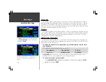
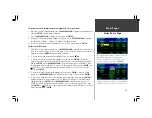
6. To enable/disable all land data or aviation data, use the
ROCKER KEYPAD
to select the ‘DATA’
tab. Use the UP/DOWN portion of the
ROCKER KEYPAD
to highlight the appropriate field and
press
ENTER
. Select ‘On’ or ‘Off’ to enable or disable all land data. Press
ENTER
to accept the
selected option. You may find it helpful to disable the aviation data while using the GPSMAP 295 in
an automobile.
{continued}
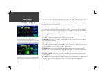
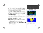
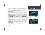
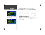
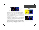
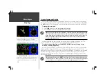
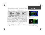
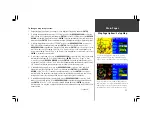
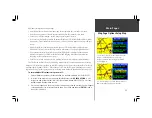
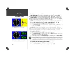
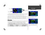
Map Page Options: Setup Map
‘Night’ Color Mode switches to a darker background color
and softer feature colors to prevent unwanted distractions in
a dark cockpit. Use the ‘Auto’ option to have the GPSMAP
295 automatically switch color modes at sunset or sunrise.
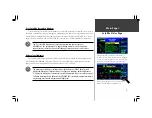
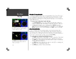
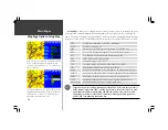
Select the ‘North Up’ option to keep the top of the map
display fixed on North. ‘Track Up’ will enable the map to
rotate so the top of the map is the direction you are heading.
Summary of Contents for GPSMAP 295
Page 1: ...Introduction 1 GPSMAP 295 Pilot s Guide Reference...
Page 2: ...2 Introduction...
Page 114: ...104 Appendix G...
Page 115: ...Appendix G 105...

