24
Main Pages
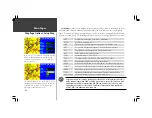
{Map Page Options, continued from pages 19-20}
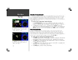
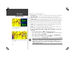
Full Screen Map—
selects a full-screen map display, without data fields along the right-hand side.
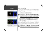
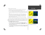
2 Big-Number Fields—
selects a map display with two large-character data fields along the
right-hand side of the page. Select the desired data items using the ‘Change Fields’ option on page 19.
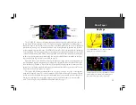
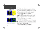
2 Fields with HSI—
selects a map display with two small-character data fields in the top right
corner of the page and a smaller HSI graphic in the bottom right corner of the page. Select the desired
data items (for the data fields) using the ‘Change Fields’ option on page 19. When using Land Mode,
‘2 Fields with RMI’ will appear as an option instead. See page 6 for more information on Land Mode.
4 Fields—
selects a map display with four small-character data fields along the right-hand side.
Select the desired data items using the ‘Change Fields’ option on page 19.
8 Fields—
selects a map display with eight small-character data fields along the right-hand side.
Select the desired data items using the ‘Change Fields’ option on page 19.
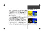
To select the number of data fields to display, add an HSI (or RMI), or select a full
screen map:
1. With the Map Page displayed, press
MENU
to display the Map Page options.
2. To select the desired number of data fields, use the
ROCKER KEYPAD
to highlight ‘2 Big-Number
Fields’, ‘4 Fields’ or ‘8 Fields’ and press
ENTER
.
3. To select a split screen with map and HSI (or RMI in Land Mode), use the
ROCKER KEYPAD
to
select ‘2 Fields with HSI’ (or ‘2 Fields with RMI’) and press
ENTER
.
4. To select a full screen map, use the
ROCKER KEYPAD
to select ‘Full Screen Map’ and press
ENTER
.
When using the ‘2 Fields with HSI’ option, the default full-scale limits of the course
deviation scale and needle are ±1.25 (nautical mile/statute mile/kilometer). To select a
different scale setting— ±0.25 and ±5.0 are also available—refer to the HSI Page
Options on pages 27 and 30.
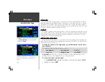
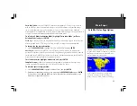
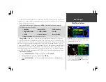
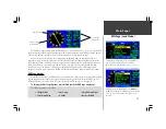
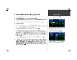
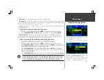
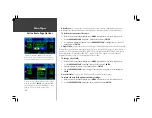
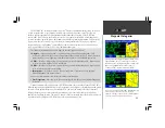
Select ‘2 Big-Number Fields’ to display a map and two
large-character data fields.
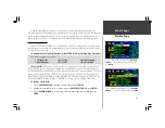
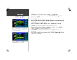
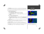
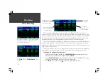
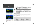
‘Full Screen Map’ removes the data fields and displays a
large area map.
Map Page Options
F
Summary of Contents for GPSMAP 295
Page 1: ...Introduction 1 GPSMAP 295 Pilot s Guide Reference...
Page 2: ...2 Introduction...
Page 114: ...104 Appendix G...
Page 115: ...Appendix G 105...

