190-00595-01 Rev. B
Garmin G1000 Pilot’s Guide for the Beechcraft A36/G36
285
HAZARD AVOIDANCE
SY
STEM
O
VER
VIEW
FLIGHT
INSTRUMENTS
EIS
AUDIO P
ANEL
& CNS
FLIGHT
MANA
GEMENT
HAZARD
AV
OID
ANCE
AFCS
ADDITIONAL
FEA
TURES
APPENDICES
INDEX
XM LIGHTNING
NOTE:
XM Lightning and optional L-3 STORMSCOPE
®
WX-500 Lightning are mutually exclusive
.
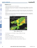
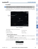
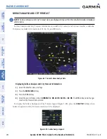
Lightning data (Figure 6-17) shows the approximate location of cloud-to-ground lightning strikes. A strike
icon represents a strike that has occurred within a two-kilometer region. The exact location of the lightning
strike is not displayed.
Figure 6-17 Lightning Data
Lightning
Strikes
XM Lightning data displays on the following maps:
• PFD Inset Map
• Navigation Map Page
• Weather Data Link Page
• Trip Planning Page
• Nearest Pages
• Flight Plan Pages
Displaying XM Lightning information:
1)
Press the
MAP
Softkey (for the PFD Inset Map, press the
INSET
Softkey). This step is not necessary on the
Weather Data Link Page.
2)
Press the
XM LTNG
Softkey (
LTNG
Softkey on the Weather Data Link Page).
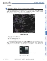
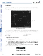
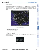
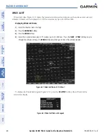
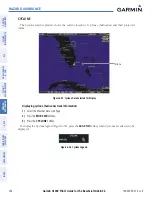
To display the XM Lightning legend on the Weather Data Link Page (Figure 6-18), press the
LEGEND
Softkey when XM Lightning is selected for display.
Figure 6-18 Lightning Legend

