Navigation
User Manual Falk Navigator
- 20 -
L Map
The scale of the map display depends on the speed you are driving. The more slowly you are
driving, the more detailed the displayed map will be.
Move map:
The display map section can be moved. To do this, tap on the map while making
a dragging movement. In this way you can follow the course of the route.
When you want to realign the vehicle position in the map in the direction of travel, then tap on
the GPS
Position
button which is displayed when moving the map in the navigation screen.
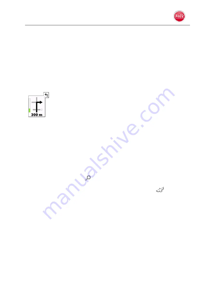
M Manoeuvre
field
The manoeuvre field indicates the direction of the
next turn-off
using an arrow; at
intersections, other streets are also shown as well as the distance to the next
manoeuvre. If you are at a roundabout, streets outgoing from the roundabout
are also shown in addition to the turnoff arrow.
The bar on the left shows you visually how far it is to the next turn-off. The
bar fills up until the manoeuvre you have to make.
Relevant cross streets and intersections before the next turnoff are also
displayed. If there are several outgoing cross streets before your manoeuvre, symbolised
numbers on the side indicate how many cross streets you still have to pass before turning
off.
Manoeuvre preview
If you have to perform several manoeuvres in quick succession, the next manoeuvre but one
is indicated in the form of a direction arrow to the right of the manoeuvre field. In this way,
you can find your way in good time.
N Zoom
function
By tapping on the magnifier icon
you can activate the zoom mode. You can increase or
decrease the size of the map section (zoom in and zoom out) using the displayed
+/-
buttons.
To view the entire route from a bird's eye perspective, tap on the bird icon
.


