22
Range Rings/Grid Lines
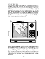
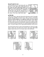
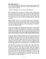
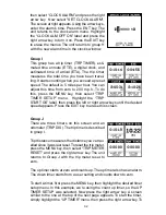
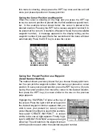
The map screen can be customized with rings
that are 1/4 of the range and/or grids that divide
the plotter into equal segments of latitude and
longitude. To do this, press the MENU key, select
“Map 1 Setup”, then “Map Options”. Highlight the
desired option, then press the right arrow key to
turn it on. Press the EXIT key repeatedly to erase
the menus. The screen at right shows grids.
AUTOZOOM
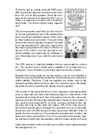
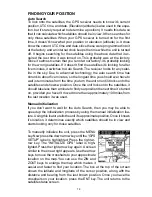
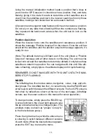
This receiver has an autozoom feature that eliminates much of the button
pushing that competitive units force you to make. It works in conjunction
with the navigation features. First, recall a waypoint. (See the waypoint
section for more information on navigating to a waypoint.) Then, with the
autozoom mode on, the unit zooms out until the entire course shows,
from the present position to the destination waypoint (recalled waypoint).
As you travel towards the destination, the unit automatically begins zoom-
ing in, one zoom range at a time, keeping the destination on the screen.
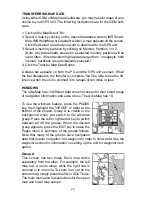
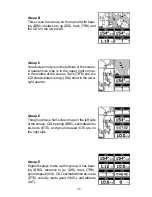
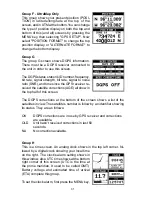
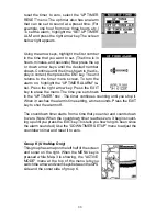
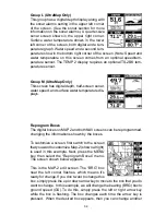
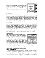
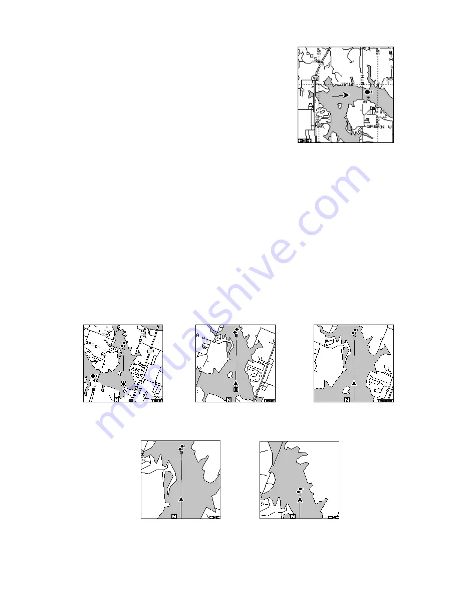
The screens below show a slice of the progression of a trip near a lake.
Screen number one is the start and is on the 3 mile range. Intermediate
stages progressively zoom in as it gets closer to the destination.
1
2
3
4
5
Summary of Contents for AccuMap
Page 1: ...INSTALLATION AND OPERATION INSTRUCTIONS AccuMap and UltraMap TM TM ...
Page 6: ...Notes ...
Page 90: ...84 Notes ...

