Modules and Views
Gpredict offers you many configuration options to customise the look of the
map view. The global default settings can be modified in the preferences
dialogue, i.e.
Edit → Preferences → Modules → Map View
, and the
settings for the map view in a specific module can be accessed via
Module
Pop-Up → Configure → Properties → Map View
. A description of the
configuration options is given below.
●
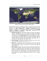
Background Map:
This setting determines which map file should be
used as background map. The standard gpredict distribution
includes a few maps but you can also use your own maps. To select a
new map, click on the
Select map
button. The map file has to be in
a commonly used graphic format, for example Portable Network
Graphics (PNG), and should have Greenwich in the middle, West to
the left and East towards the right. Besides that there are no
restrictions on the map size or the aspect ratio.
●
Extra Contents:
Using these setting you can determine which extra
content should be displayed on the polar view:
●
QTH Info:
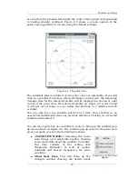
Checking this box will show the name of the ground
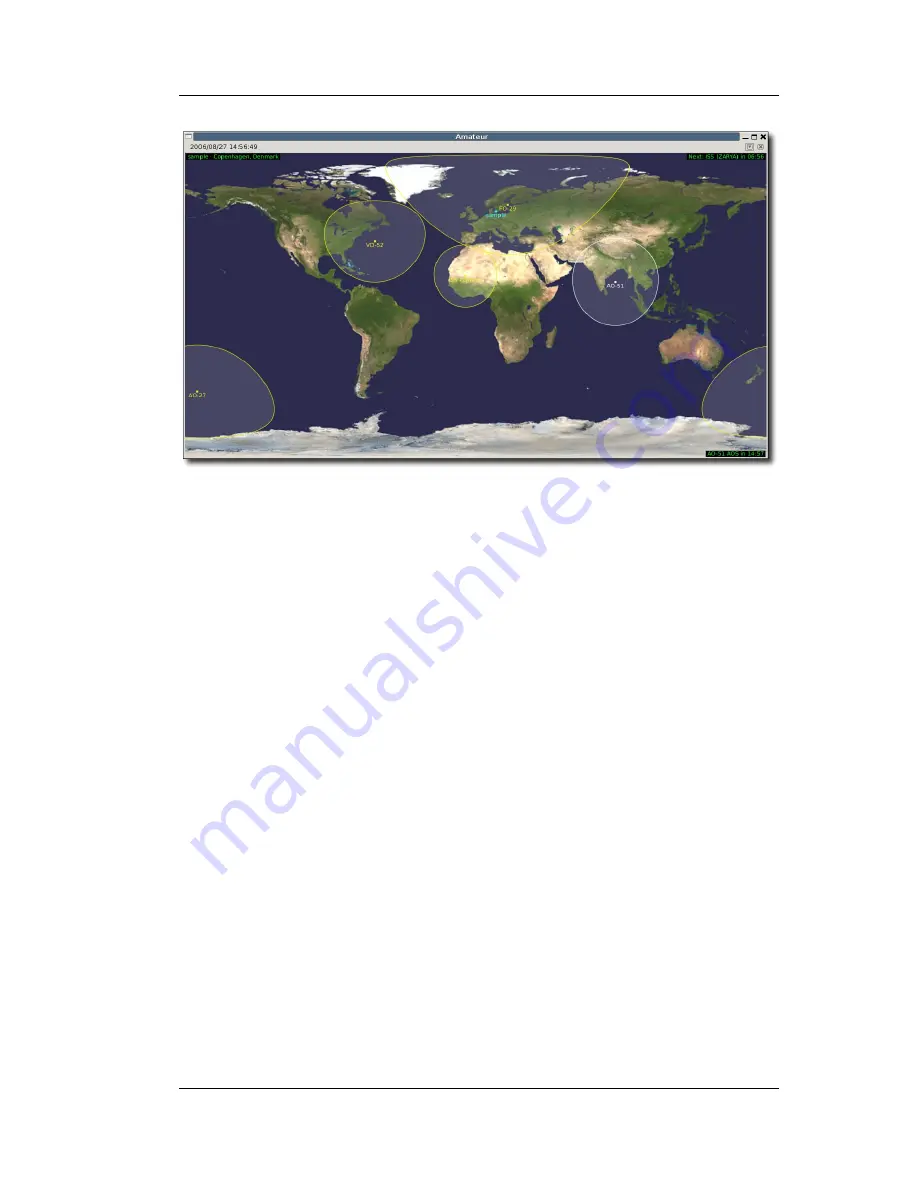
station in the upper left corner of the polar view. The map view on
figure TBD shows
sample
, since this is the name of the default
ground station.
●
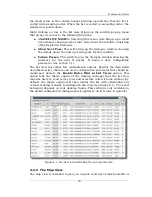
Next Event:
Checking this box will show in the upper right corner
which satellite will come up next as when it will come up. The time is
shown as a countdown to the event. Figure 4.2 shows that the next
satellite will be ISS (ZARYA) and that it will come up in 06m56s.
Please note that the countdown is not necessarily updated in real-
time. Actually, it is only updated every time the map view is
refreshed, see description of refresh rates in section 2.3.3 – Module
Properties.
35
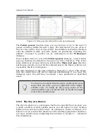
Figure 4.2: The map view using the default settings.
Содержание Gpredict 1.2
Страница 1: ...Updated for Gpredict 1 2 by Alexandru Csete OZ9AEC Gpredict User Manual ...
Страница 5: ......

