


Mini-X Installation, Setup & User Manual GRT Avionics
Revision A9 57
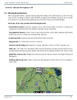
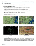
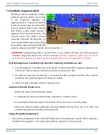
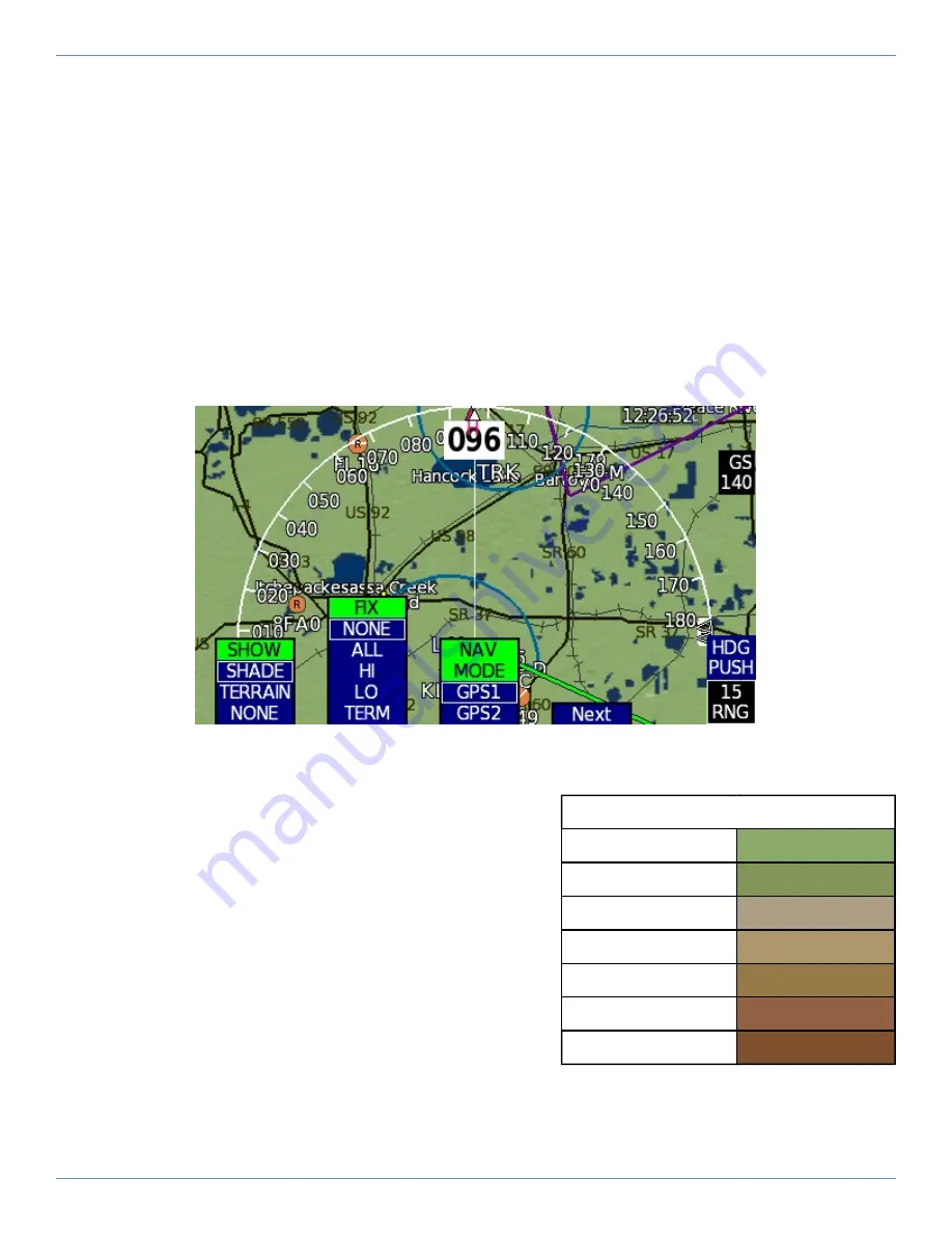
6.4.3 Map Background Options
The SHOW softkey lets the pilot choose one of several mapping data sets to display on the map.
SHADE
- Displays topography shading similar to that shown on a VFR Sectional chart. The data
is derived from the internal synthetic vision database. See Map Topography Shading below for
more information.
TERRAIN
- Uses the base SHADE topography and adds yellow and red coloring as a visual terrain
proximity warning.
NONE
- Displays default map settings as defined in the Moving Map setup menu. Shows basic
map background (either olive or black, as set up in Section 6.3.4) with no topography shading.
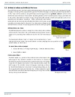
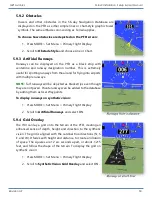
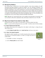
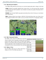
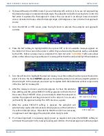
6.4.4 Map Topography Shading
The SHADE option under the SHOW menu colors the
map according to the Topography Shading Color Key
shown to the right. The base colors are enhanced by
shadows in mountainous terrain to give the map texture
and bring attention to the mountain peaks. Elevations
are derived from the internal synthetic vision database.
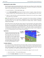
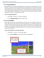
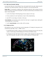
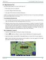
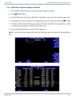
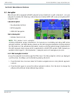
6.4.5 Display of Fixes
The FIX softkey allows you to choose which fixes to
display on screen for decluttering purposes.
Elevation in Feet Above Sea Level
0-500
501-2000
2001-3000
3001-5000
5001-7000
7001-9000
Above 9000


