2.5 Navigator
settings
The options that can be changed in the settings menu are explained in detail below.
2.5.1 Map display
Under map display, you can modify various settings that affect the map view. To do
so, tap the
Map display
button in the
settings
menu. The following options can be modified.
2D/3D view:
Tap the 2D/3D symbol to switch between the 2-dimensional and 3-dimensional
map view. The display will switch between 3D and 2D depending on your current selection.
In direction of travel/Orientated
: When you tap on the button
In direction of travel
, the
map is shown from your current position pointing in the direction in which you are travelling.
Orientated
means that the map is always orientated to the north and your direction of
movement is shown on the map in relation to north.
Auto zoom:
Use the
Auto-zoom on/off
button to activate or deactivate the Falk Navigator
automatic zoom function. When the auto-zoom function is activated, the Falk Navigator
adjusts the map display size to the current travel speed. Depending on the current setting,
the display changes from Auto-zoom on to Auto-zoom off.
POI display on map:
You can use the
POIs on map
button to select from the available POI
categories which POI categories should be displayed on the map.
POI display:
The POI display button enables you to determine whether the special
destinations that are shown in the form of icons when navigating from the navigation screen
are displayed with or without names. Each time you tap the button, the POI display settings
are changed and the POIs are either shown or hidden as the case may be.
Split Screen Pro display (optional):
You can use the
Large arrow display / Split Screen
map
button to change the way that the Split Screen Pro display is shown on the navigation
screen.
Reality view on/off (optional):
This button allows
you to activate/deactivate the reality view (cf.
Chapter 2.2.2).
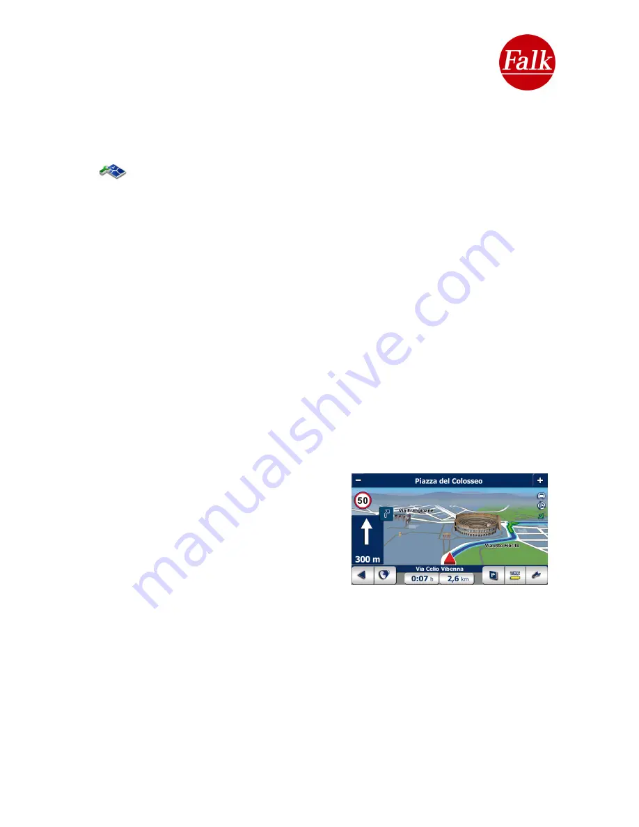
3D Buildings:
You can have striking buildings and
other buildings of particular note that are worth
seeing in cities displayed on the map while you are
navigating by tapping on
3D Buildings on
.
Requirement:
You have enabled the 3D map view
option and a route has been calculated.
Map colours:
Choose your own personal map colour for the view shown on the navigation
screen. You can use the arrows to choose between three different map colours. Confirm your
selection with
Use
.
User Manual Falk Navigator 10
- 51 -
Содержание Navigator 10
Страница 1: ......


