5.1.2.Activating the OpenStreetMap layer in Run.GPS
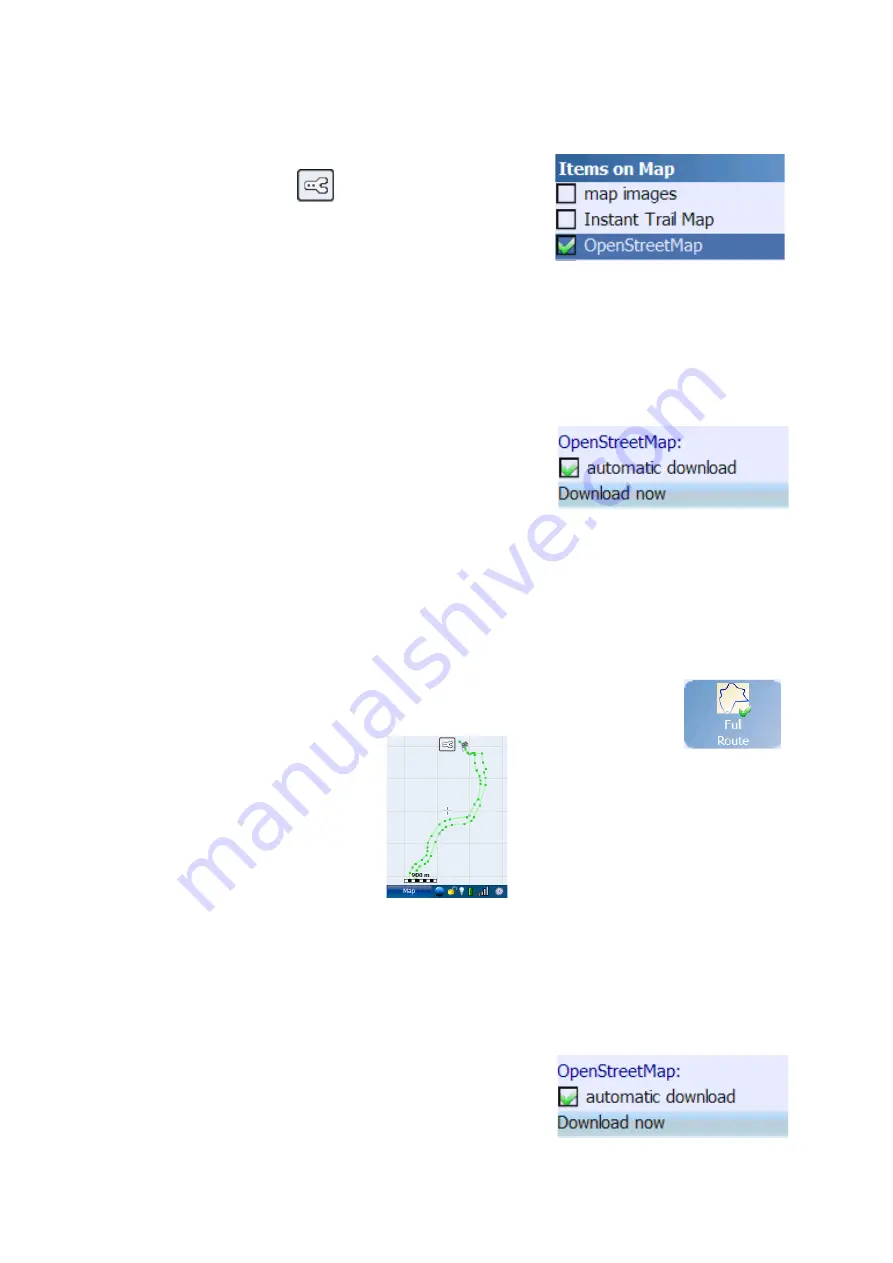
To activate the OpenStreetMap layer in
Run.GPS
, click
the configuration button
on the map screen or
choose Configuration > Map Settings from the main menu.
Then open the dialog “Items on Map”.
No OpenStreetMap data is delivered with
Run.GPS
. The map tiles are downloaded online
via the Internet connection on your Smartphone and stored in a cache. Map tiles are
downloaded only once and stored in the
Run.GPS
data directory.
Important Notice
: because OpenStreetMap tiles require a lot of memory, the
Run.GPS
data
directory should be moved from the main memory to the storage card. See chapter
“Filesystem” for a guide on how to do this.
To download OpenStreetMap data en route, active the
“automatic download” in the same dialog further below.
You Smartphone will build up a GPRS or UMTS data
connection on demand.
Important Notice
: downloading map data through the cell network data services may be
very expensive depending on your contract.
5.1.3.Loading Maps Prior to a Planned Tour
If you don't want to download map tiles en tour, you can download them at home using a
WLAN connection or ActiveSync. To define the area you want to download,
open the map screen and scroll and zoom to this area. An easier way to do
this is to choose a navigation route and select the “Full Route” map mode.
The map screen will look like this:
Now choose “Download now” from the “Items on Map”
dialog:
78
Содержание Run.GPS UV
Страница 1: ...Manual for Run GPS Trainer UV and Run GPS Trainer UV Pro Version 2 4 1 August 1st 2012 1...
Страница 33: ...33 Wikipedia Guide always shows the Wikipedia article located closest to you...
Страница 112: ...7 Go to directory Storage Card My Documents and paste the previously cut out Run GPS directory here 8 Start Run GPS 112...


