16
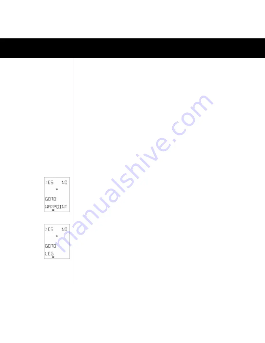
Fig.036
Fig.038
4.5.2.2 POSITION FORMAT and MAP DATUM
Here is where you select which kind of position format you would like to use. Either you use a Latitude/Longitude
system or you use a grid system. Which system you select depends on which reference system is shown on your
map. After having selected the position format you are prompted to select a map datum. The Multi-Navigator
TM
recommends a map datum for the selected position format. (When selecting the British Ordnance Survey grid
system reference, the OSGB-36 map datum is recommended and so on) If you are using the Multi-NavigatorTM
with a map (which is recommended) you should select the map datum used on the map. The reason for this is that
when you are ”translating” the co-ordinates to or from the Multi-Navigator
TM
they must correspond to the map
datum. If the wrong datum is selected there is a risk that the position shown in the Multi-Navigator
TM
will not
correspond with your actual position on the map. Information about the map datum can normally be found in the
margins of the map.
4.5.2.3 GPS ELEV OFFSET
Here you can set an offset to the elevation calculated by the GPS receiver in the Multi-Navigator
TM
. The elevation
you get from the GPS system is not always the correct height above sea level. If you check the GPS ELEV function
(see 4.4.1.1) and it is different from the correct altitude you find yourself at, then you can correct this by setting an
offset in this function.
4.5.2.4 MORE SETTINGS
See 4.5.1
4.5.3 SETTINGS/ALTERNATIVES IN THE GPS NAVIGATION FUNCTION
4.5.3.1 GOTO WAYPOINT (FIG 036)
Here is where you select which waypoint to navigate to. Select
YES
if you want to select the waypoint indicated. In
this case the Multi-Navigator
TM
suggests the waypoint last entered. If that is the one you want to go to, confirm
with
YES
. After confirmation the LCD will show ”GOTO NAV STARTED” and instantly ”jump” back to the GPS
navigation function. If you want to go to another waypoint that is available in the memory press
UP
or
DOWN
to
search for it in alphabetical order. You can also search by single letters by first pressing RIGHT, so that the first letter
flashes. Then use UP or DOWN to select a letter. When selected, press RIGHT to search for the next letter and so
on. When the requested waypoint is found press
YES
to confirm.
4.5.3.2 ODOMETER/MAX SPEED
When you start the Multi-Navigator
TM
the odometer will start to calculate the distance travelled. It will also register
your max speed. When you want to leave the function press ESC, if you want to reset the odometer and max speed
press SET. 4.5.3.3 GOTO LEG* (FIG. 038) In this function you manually select along which leg on the activated
route you want to navigate. As described in 4.4.7.8.2 the Multi-Navigator
TM
will automatically select the leg closest
to your current position. If you wish to navigate on a different leg than the one selected by the Multi-Navigator
TM
you
make that selection here. Press YES and select your leg with UP/DOWN. When the leg is found press YES and
navigation starts. *=This function will only be available if a route has been stored and activated. 4.5.3.4 MORE
SETTINGS See 4.5.1
SETTINGS/ALTERNATIVES IN THE MAIN FUNCTIONS


