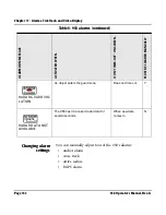
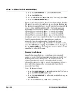
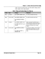
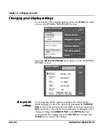
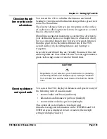
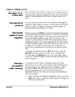

Page 158
958 Operator’s Manual, Rev. A
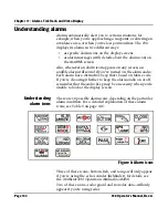
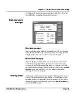
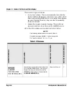
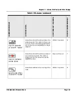
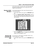
Chapter 11 - Alarms, TideTrack, and Video Display
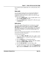
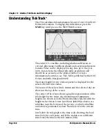
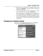
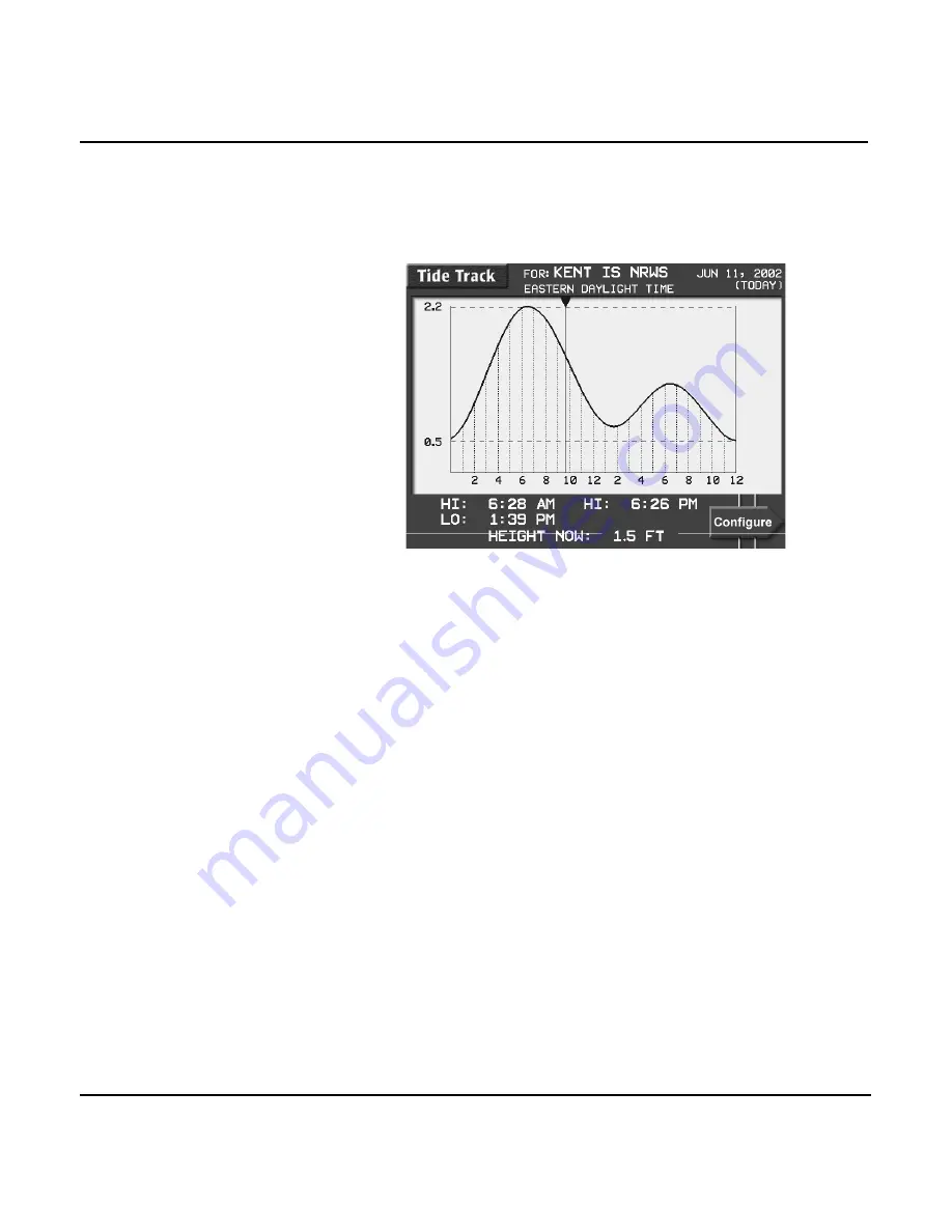
Understanding TideTrack
™
The 958 calculates tide information for any of over 3,540 NOS/
NOAA tide stations. To display this information, press the
STAR
key until you see the
TIDE TRACK
screen.
The entire U.S. coastline--including Alaska and Hawaii--is
covered, plus many Caribbean islands and eastern and western
Canada. Tides can be displayed for any date up to the year
2010. Data is from the official tide-table predictions and
should be as accurate as the printed tables. For more
information about tides, see
Tide Tables
published by the NOS/
NOAA, Rockville, Maryland 20852.
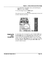
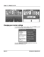
The water height for any 24-hour period is displayed for the
selected NOAA tide station.
The name of the selected tide station and the selected day are
shown at the top of the screen.
The center of the screen shows a graphic representation of the
tide height for the entire day. Maximum and minimum
heights are shown as dashed horizontal lines labeled with the
height in feet. Mean Lower Low Water (MLLW) is shown as a
solid line near the bottom of the picture. A solid vertical line
and arrow is positioned to show the tide level at the current
time.
Just below the tide graph is the time scale, showing the local
time (LCL) for each point, and (if the station is in a different
time zone) the time at the tide station (TID).
Summary of Contents for 958
Page 1: ...NORTHSTAR 958 Integrated Navigation System Operator s Manual P N GM958UM Revision A ...
Page 2: ......
Page 8: ...Page iv 958 Operator s Manual Rev A ...
Page 26: ...Page 18 958 Operator s Manual Rev A Chapter 1 Getting Started ...
Page 128: ...Page 120 958 Operator s Manual Rev A Chapter 8 Understanding Waypoint Route Navigation ...
Page 150: ...Page 142 958 Operator s Manual Rev A Chapter 10 Understanding Radar Functions ...
Page 198: ...Page 190 958 Operator s Manual Rev A ...
Page 204: ...Page 196 958 Operator s Manual Rev A ...
Page 212: ...Page 204 958 Operator s Manual Rev A ...


