


45
10. CHARTING AND NAVIGATE
MODES
The current mode is shown clearly on the PLOTTER Page by
Charting /
“C”
or Navigate /
N”
.
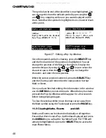
10.1 Charting Mode
The Charting Mode allows you to examine the charts, position
Marks and Events and plot Routes. In Charting Mode all
distance and bearing information relates to the map cursors
position. If the map cursor bumps the edge of the screen,
the chart will move across and show the next section of the
chart, this is called panning or scrolling.
You may zoom
IN
or
OUT
and position the cursor anywhere
on the display screen.
In this mode you have full control over all functions contained
in the menus. You may measure distances and bearings, enter,
edit or delete Marks and Events and select a Target to navigate
to.
You do not need to have a position-finding device connected
to your Chartnav in order to use this mode of operation but
you will not be able to enter a Target unless one is connected.
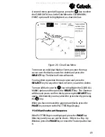
10.2 Navigate Mode
In order to use Navigate Mode your system must be
connected to a working position-finding instrument.
In Navigate Mode all distance and bearing information relates
to the vessels position. The vessels position always remains
on the screen and controls which portion of the chart is
viewed. The chart pans when the vessels position nears the
edge of the display.
In Navigate Mode you may use most of the plotting functions
in the usual way but some commands are restricted for safety
reasons.
All manuals and user guides at all-guides.com