Symbol Description
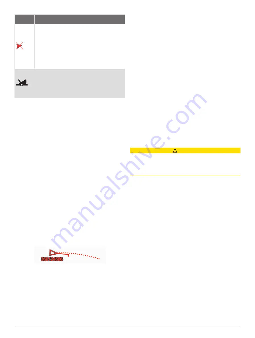
Dangerous target is lost. A red X indicates
that the AIS transmission from the vessel is
lost, and the chartplotter displays a message
banner asking whether the vessel should
continue to be tracked. If you discontinue
vessel tracking, the lost dangerous target
symbol disappears from the chart or the 3D
chart view.
The location of this symbol indicates the
closest point of approach to a dangerous
target, and the numbers near the symbol
indicate the time to the closest point of
approach to that target.
NOTE:
Vessels being tracked with the Blue Force
Tracking feature are indicated with a blue-green color
regardless of their status.
Heading and Projected Course of Activated AIS
Targets
When heading and course over ground information are
provided by an activated AIS target, the heading of the
target appears on a chart as a solid line attached to the
AIS target symbol. A heading line does not appear on a
3D chart view.
The projected course of an activated AIS target appears
as a dashed line on a chart or a 3D chart view. The
length of the projected course line is based on the value
of the projected heading setting. If an activated AIS target
is not transmitting speed information, or if the vessel is
not moving, a projected course line does not appear.
Changes in the speed, course over ground, or rate of
turn information transmitted by the vessel can impact the
calculation of the projected course line.
When course over ground, heading, and rate of turn
information are provided by an activated AIS target, the
projected course of the target is calculated based on the
course over ground and the rate of turn information. The
direction in which the target is turning, which is also based
on the rate of turn information, is indicated by the direction
of the barb at the end of the heading line. The length of
the barb does not change.
When course over ground and heading information are
provided by an activated AIS target, but rate of turn
information is not provided, the projected course of the
target is calculated based on the course over ground
information.
Activating a Target for an AIS Vessel
1
From a chart or a 3D chart view, select an AIS vessel.
2
Select
AIS Vessel
>
Activate Target
.
Viewing Information about a Targeted AIS Vessel
You can view the AIS signal status, MMSI, GPS speed,
GPS heading, and other information that is reported about
a targeted AIS vessel.
1
From a chart or a 3D chart view, select an AIS vessel.
2
Select
AIS Vessel
.
Deactivating a Target for an AIS Vessel
1
From a chart or a 3D chart view, select an AIS vessel.
2
Select
AIS Vessel
>
Deactivate
.
Viewing a List of AIS and MARPA Threats
From any Radar screen or the Radar overlay, you can
view and customize the appearance of a list of AIS and
MARPA threats.
1
From a Radar screen, select
Options
>
Layers
>
Other Vessels
.
2
Select an option:
• To view a list of AIS threats, select
AIS
>
AIS List
.
• To view a list of MARPA threats, select
MARPA
>
MARPA List
.
3
If necessary, select
Display Options
>
Show
, and
select the type of threats to include in the list.
Setting the Safe-Zone Collision Alarm
CAUTION
The Beeper setting must be turned on to make alarms
audible (
). Failure
to set audible alarms could lead to injury or property
damage.
Before you can set a collision alarm, you must connect an
AIS device or radar to the same network as a compatible
chartplotter.
The safe-zone collision alarm is used only with AIS
and MARPA. MARPA functionality works with radar. The
safe zone is used for collision avoidance and can be
customized.
1
Select
Options
>
Settings
>
Alarms
>
Collision
Alarm
>
On
.
A message banner appears and an alarm sounds
when a MARPA-tagged object or an AIS-activated
vessel enters the safe-zone area around your boat.
The object is also labeled as dangerous on the
screen. When the alarm is off, the message banner
and audible alarm are disabled, but the object is still
labeled as dangerous on the screen.
2
Select
Range
, and select a distance for the safe-zone
radius around your vessel.
18
Charts and 3D Chart Views


