77
MENU
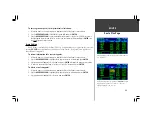
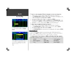
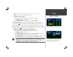
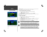
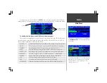
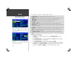
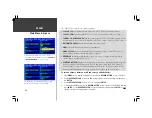
The ‘UNITS’ file tab provides the following settings:
• DISTANCE, SPEED—
selects units of measure for distance and speed readouts; available units are
Nautical (nautical mile/knots), Statute (statute mile/mph) and Metric (kilometer/kph)
• VERTICAL SPEED—
selects vertical speed readings in Feet/Minute or Meters/Minute.
• ALTITUDE—
selects altitude display in Feet or Meters.
• TEMPERATURE—
selects temperature display in degrees Fahrenheit or Celsius.
• PRESSURE—
selects display of barometric pressure (altimeter setting) in Inches (Hg) or Millibars.
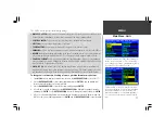
• HEADING—
displays heading information based upon True north reference, Auto Mag (automati-
cally determined magnetic north reference), User Mag (user defined magnetic north) or Grid.
• POSITION FORMAT—
selects position readouts in latitude/longitude (degrees, degrees/minutes
or degrees/minutes/seconds); British Grid; German Grid; Irish Grid; Maidenhead; MGRS; Swedish
Grid; Swiss Grid; Taiwan Grid or UTM/UPS.
• MAP DATUM—
selects from a list of 107 built-in map datums. A map datum is a mathematical
model which defines where a given position is placed upon a map. The default setting is ‘WGS 84’
and should only be changed if you are using a map or chart which specifies a different datum.
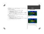
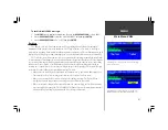
To change units of measure, heading reference, position format or map datum:
1. Press
MENU
twice to display the Main Menu, then use the
ROCKER KEYPAD
to select ‘UNITS’.
2. Use the
ROCKER KEYPAD
to select the desired field and press
ENTER
. A pop-up window will
show the available settings for the selected field.
3. Use the
ROCKER KEYPAD
to select the desired setting and press
ENTER
.
4. If ‘User Mag’ is selected for Heading, use the
ROCKER KEYPAD
to highlight the magnetic variation
field and press
ENTER
. Use the
ROCKER KEYPAD
to enter local magnetic variation and press
ENTER
.
5. If ‘User’ is selected for Map Datum, a pop-up window will appear to enter the differences, from the
WGS 84 norm, for each datum parameter. Use
ENTER
and the
ROCKER KEYPAD
to enter the data.
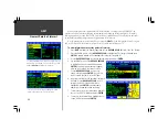
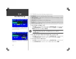
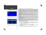
Main Menu: Units
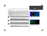
The MAP DATUM should only be changed if your chart
specifies a different datum. Selecting the wrong map datum
can result in substantial errors. When in doubt, use the
default WGS84 datum or select each datum applicable to
your region until you find the best positioning at a known
point.
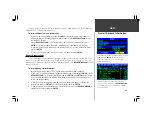
The ‘UNITS’ tab allows you to change units of measure for
distance, speed, vertical speed, etc. This screen also allows
you to change position format (e.g. latitude and longitude in
degrees/minutes vs. degrees/minutes/seconds, etc.).
Содержание GPSMAP 295
Страница 1: ...Introduction 1 GPSMAP 295 Pilot s Guide Reference...
Страница 2: ...2 Introduction...
Страница 114: ...104 Appendix G...
Страница 115: ...Appendix G 105...

