18
Main Pages
Retrieving Airspace Information
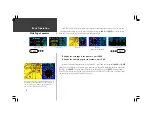
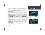
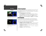
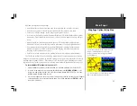
Panning and pointing may also be used to retrieve information on airspaces depicted on the map.
Once the panning pointer is placed on an open area within an airspace, the entire airspace, or airspace
sector, is highlighted. A text box adjacent to the panning pointer will indicate the airspace type and
floor/ceiling limits. Additional information, including communication frequencies, is available from the
waypoint information pages.
To retrieve airspace information from the Map Page:
1. Use the
ROCKER KEYPAD
to select an open area within the desired airspace’s boundary. The
boundary line is highlighted and a window appears showing airspace type and floor/ceiling limits.
2. To display additional information, such as controlling agency, press
ENTER
. Communication
frequencies may then be displayed by highlighting the on-screen ‘Frequencies’ button and pressing
ENTER
. Or, with the on-screen ‘OK’ button highlighted, press
ENTER
to return to the Map Page.
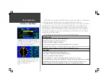
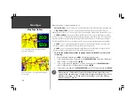
Easy Screen Decluttering
You can select the desired level of map detail using the ‘Setup Map’ option described on the
following page. You may, however, wish to temporarily remove some map detail in congested areas.
There are three declutter settings which will remove the background detail (lakes/rivers/highways),
airspace boundaries, and—at the highest declutter level—all map detail except those waypoints which
are part of your selected route. Map decluttering is selected with the
ENTER
key.
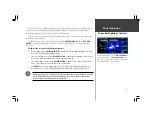
To quickly declutter the Map Page (Aviation Mode only):
1. Press
ENTER
. Background detail—including highways, cities, rivers & smaller lakes—is removed from
the map display. This declutter setting is identified by ‘CLEAR -1’ appearing below the map scale.
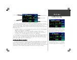
2. Press
ENTER
again. All background and airspace boundary detail is removed from the map display.
‘CLEAR -2’ appears below the map scale.
3. Press
ENTER
again. Only the waypoints which are part of the current GOTO or route appear on the
map display. ‘CLEAR -3’ appears below the map scale.
4. Press
ENTER
again to return ALL detail to the map display.
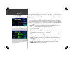
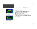
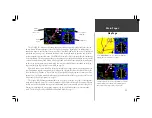
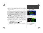
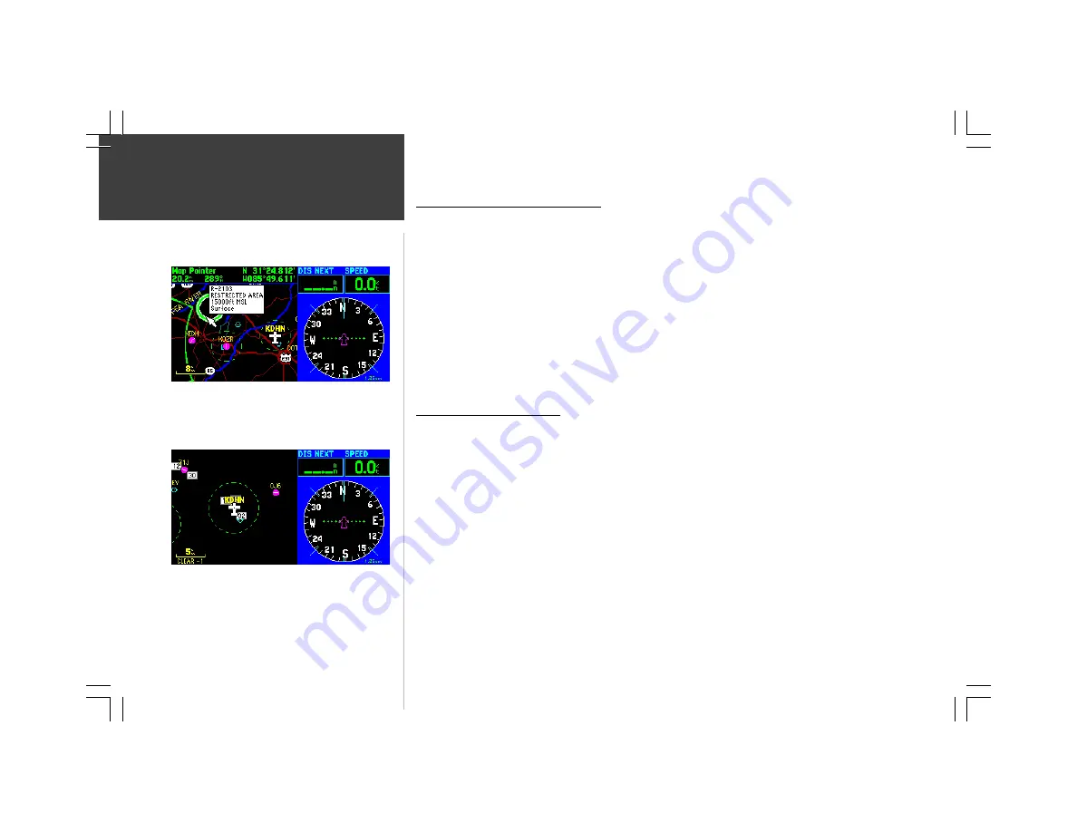
When the panning cursor is placed within the boundaries of
an airspace, the airspace name, airspace type and floor/
ceiling limits appear in a text window.
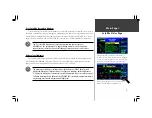
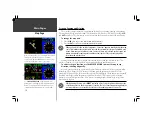
Press
ENTER
to declutter the map. There are three levels
of decluttering, indicated directly below the map scale
(‘CLEAR -1’ in this example).
Map Page
Содержание GPSMAP 295
Страница 1: ...Introduction 1 GPSMAP 295 Pilot s Guide Reference...
Страница 2: ...2 Introduction...
Страница 114: ...104 Appendix G...
Страница 115: ...Appendix G 105...

